Record California Tides Flood Coast, Prompt Emergency Declarations
Exceptionally high tides since October 26, 2026, have caused widespread coastal flooding across California, setting a new water level record of 2.60 m in San Diego and triggering a local emergency in Huntington Beach.
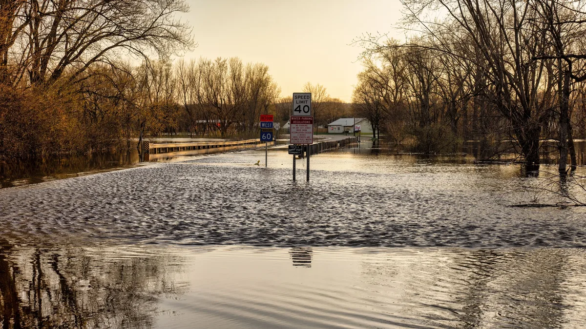
Exceptionally high tides have flooded coastal communities across California since October 26, 2026. Water levels set a new record at San Diego, reaching 2.60 m above mean lower low water on October 27, exceeding the previous day's record of 2.57 m.
In Huntington Beach, emergency conditions began on October 26 and continued through October 29. Tides reached 2.50 m, producing widespread flooding in Huntington Harbor and Sunset Beach. City Manager Travis Hopkins said he "proclaimed a local emergency on October 26 in his capacity as director of emergency services." A special City Council meeting was scheduled for October 30 to ratify the declaration.
Emergency measures included constructing sand berms, installing sandbags, and positioning pumping equipment. Pacific Coast Highway was closed between Warner Avenue and Anderson Street, and on Saybrook Lane between Edinger Avenue and Humboldt Drive, as of October 28. Coastal flood warnings for Orange and San Diego counties expired on October 29, while advisories persisted for beaches in San Luis Obispo, Santa Barbara, Ventura, and Los Angeles counties.
Northern California and Bay Area alerts persist
Coastal flood advisories extend from Marin County through the San Francisco Bay Area. The NWS San Francisco Bay Area office extended its advisory for shoreline locations around San Pablo Bay, San Francisco Bay, and Monterey Bay until November 1. A separate advisory for the Pacific coast remained until October 31.
The advisory warned that water could reach as much as 0.58 m above ground level in vulnerable low-lying locations. At the San Francisco tidal gauge, the NWS forecast a water level of 2.35 m on October 30, approximately 0.58 m above normal. Marin County's Office of Emergency Management confirmed inundation of low-lying coastal areas and multiple road closures.
Newport Beach and Long Beach face ground-level flooding
Newport Beach saw record tidal levels reaching 8.4 feet, last seen this high in the 1920s. Water flooded through Newport Harbor Yacht Club’s boatyard and streets at 8th and West Bay Avenue. A home known as the Pirate House at 35th Street and Marcus Avenue was flooded throughout its ground floor. "This house is a landmark; it’s famous," said resident Sandy Gold. I feel really bad for him. It went right through his house.
The city closed the waterway beneath the Newport Boulevard Bridge as a precaution and suspended parking enforcement so residents could move vehicles. In Long Beach, Bayshore Beach saw high tides again, and the city closed off 54th Place. On Naples Island, homeowners dealt with flooding from water getting through cracks in the seawall along the canal. Longtime resident Lynn Kirk noted, Today was the worst, with water ankle-deep in front of her home.
El Niño and sea level rise identified as contributing factors
Meteorologists link the flooding to exceptionally warm Pacific waters and thermal expansion during the strengthening El Niño. The NWS San Diego office stated that sea levels near San Diego were approximately 0.43 m (17 inches) higher than a year earlier. The California Coastal Commission identified El Niño conditions and oceanic Kelvin waves as factors capable of temporarily raising sea levels.
The late-October event occurred ahead of the Commission's designated winter king-tide observation periods scheduled for November 24-26 and December 23-25, 2026, and January 21-22, 2027. Predicted astronomical high tides during the coming winter events would be higher than those associated with the October flooding, suggesting continued risk for coastal communities.