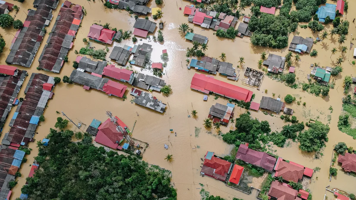
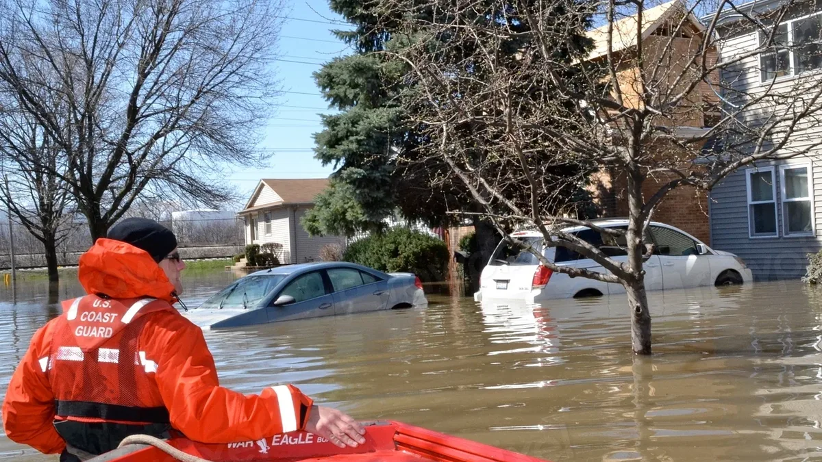
Record Flooding Threatens Florida's Space Coast
The St. Johns River near Cocoa hit a record 5.67 meters, triggering major flooding as a high risk of excessive rainfall targets Florida's Space Coast through Saturday, prompting widespread school closures and emergency declarations.
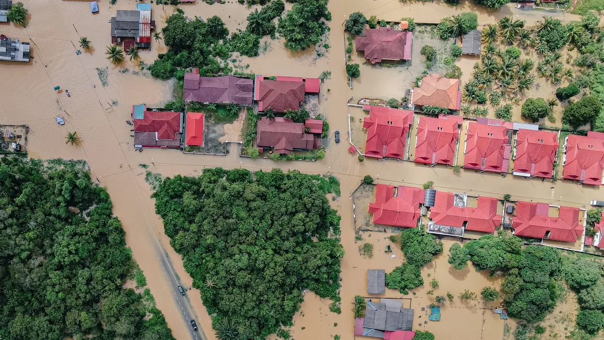
The St. Johns River near Cocoa reached 5.67 meters early Friday, exceeding its major flood stage and threatening communities along Florida's Space Coast with record river levels and excessive rainfall. A High Risk of excessive rainfall is in effect for the region from Friday through Saturday, with multiple reports confirming 152 to 305 millimeters of rain has already fallen in Brevard County.
The river's level, measured at 18.6 feet, is well above the major flood stage of 5.18 meters. The forecast predicted a crest near 5.70 meters. This surpasses the previous record of 17.55 feet set in October 1953. The Florida Division of Emergency Management warned of a considerable to potentially catastrophic rainfall event along the East Coast through Saturday. More heavy rain over the next 48 hours would keep pushing levels above record through late week and into the weekend.
Escalating Flood Warnings and Emergency Actions
River flood warnings cover the St. Johns River from Geneva to Sanford. Geneva is in major flood stage with further rises forecast, while DeLand and Sanford are expected to reach minor flood stage. In response, schools were closed Thursday in Brevard, Volusia, Indian River, and Miami-Dade counties. Volusia schools will also stay closed Friday. Broward schools were closed Wednesday and Thursday.
Emergency responses are underway. Water rescues were carried out in Fort Lauderdale, Hollywood, and other parts of Broward and Miami-Dade counties. Broward County, Fort Lauderdale, and Hollywood declared states of emergency Wednesday. Governor Ron DeSantis expanded an earlier November emergency order to cover Broward and other Atlantic coast counties.
Ongoing Rainfall and Coastal Impacts
Additional heavy rain will worsen the situation. An additional 102 to 203 millimeters of rain is forecast through Saturday. The NWS office in Melbourne forecast 4 to 6 inches of rain widely, with 8 to 12 inches near the coast and a small chance of more than 12 inches in parts of Volusia and Brevard counties. Heavy rain on saturated ground is aggravating flooding along the Brevard and Volusia coasts.
Coastal sections of the Southeast are under a Slight Risk of excessive rainfall from Saturday to Sunday. The heaviest Saturday rain may remain over coastal waters, though a track closer to land could bring heavier rain farther inland. The inland extent of flooding remains uncertain.
| Location | Forecast Rain (through Saturday) | Notes |
|---|---|---|
| Widely across region | 102-152 mm (4-6 inches) | NWS Melbourne forecast |
| Coasts of Brevard & Volusia | 102-152 mm (4-6 inches) | Potential for 203-305 mm (8-12 inches) |
| Localized areas | >305 mm (>12 inches) | Small chance in parts of Volusia and Brevard |
Secondary Hazards and Community Response
Life-threatening rip currents and high surf compound the danger. A High Rip Current Risk covers the east-central coast and the Miami-Dade, Broward, and Palm Beach beaches through Friday evening. NWS Melbourne has a High Surf Advisory through Friday evening, with breaking waves of 5 to 10 feet possible and moderate to locally major beach erosion.
Officials urge immediate public action. The advice from NWS Melbourne is short: "Do not drive through flooded roadways if you encounter flooding!" Residents should check their county emergency management page, sign up for local alerts, and follow evacuation instructions. Moving vehicles, medications, and documents to higher ground and photographing property for insurance claims are reasonable steps. Anyone facing rising water inside a home or vehicle should call 911.
The broader weather system, a broad low over southeastern Florida and the northwestern Bahamas, has a 30 percent chance of subtropical or tropical development within 48 hours. Rainfall rates may exceed 76 millimeters per hour. This event follows a one-in-1,000-year deluge from November 1 to 2, where up to 24.10 inches fell near Malabar and two people died in Palm Bay. The St. Johns River is one of the slowest-draining rivers in the country. Residents should monitor river level forecasts and avoid flooded roadways as water levels are expected to rise to 18.8 feet by Saturday morning.