Midwest Faces Marginal Severe Thunderstorm Risk This Evening
The Storm Prediction Center issued a marginal risk for severe thunderstorms across parts of the Midwest and Southeast on November 11, 2026.
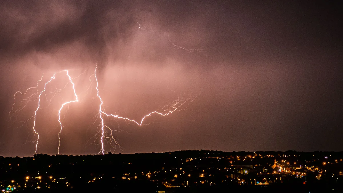
The Storm Prediction Center issued a marginal risk outlook for severe thunderstorms on November 11, 2026.
Thunderstorms capable of isolated hail, damaging winds, and perhaps a tornado were possible this afternoon and evening. Current expectations were for surface-based thunderstorms to initially develop over eastern Illinois between 18-21Z.
Storm Development
Initial thunderstorm development was expected over eastern Illinois by late afternoon. Additional development was possible with southward extent along and ahead of a trailing cold front in western and central Kentucky through the afternoon and early evening. A mix of clusters and marginal supercells were expected to evolve and spread quickly eastward. Isolated to scattered thunderstorms were also forecast to form along the Atlantic Coast sea breeze this afternoon across the central and southern Florida Peninsula.
Atmospheric Conditions
Recent water vapor satellite imagery showed a mid-level shortwave trough moving southeastward over the Upper Midwest. A weak surface low was expected to develop from southeast Iowa to the Indiana vicinity by late afternoon. Moisture was expected to struggle to advect northward through the day, possibly reaching only parts of middle Tennessee and southern Kentucky. Surface observations showed dewpoints generally in the 30s to mid 40s across the Midwest and lower Ohio Valley, while greater low-level moisture was present across the southern Plains into the Ozarks.
Weak, but potentially sufficient, instability and 30-40 knots of deep-layer shear were expected to support updraft organization. However, multiple inversions aloft noted in soundings from Florida were expected to limit updraft intensities there.
Severe Threat
Isolated threats for hail and damaging winds were expected due to cold mid-level temperatures and modestly steepened low-level lapse rates. The lack of greater low-level moisture and stronger instability was expected to limit the overall severe threat. Modestly enhanced low-level shear may support a tornado risk if a supercell can develop and be sustained, though the tendency for low-level flow to veer to westerly was expected to reduce this potential through the evening.
The primary severe weather risk was concentrated in the middle portion of Middle Tennessee north of I-40 and portions of Southern Kentucky. In these areas, the timing for possible severe weather was from 2 p.m. to 9 p.m. Most people will stay dry and not see rain. Storms that develop could bring gusty wind. The threat for a quick spin-up tornado cannot be ruled out, but it is close to zero.
Small hail and gusty winds could also occur with stronger storm cores in Florida given moderate instability and 30-35 knots of deep-layer shear. The isolated severe risk was expected to wane this evening with eastward extent across the lower Ohio Valley as instability diminished with the loss of daytime heating. Gleason and Wendt noted, "THE NEXT DAY 1 OUTLOOK IS SCHEDULED BY 1630Z." Following the storm system, widespread freezing temperatures are expected by Saturday morning, resulting in Nashville's first freeze of the season.