Storm Prediction Center
| Jurisdiction | United States |
|---|---|
| Headquarters | Norman, Oklahoma |
| Parent agency | National Oceanic and Atmospheric Administration (NOAA) |
| Primary hazard | Severe convective weather |
| Primary forecasts | Convective outlooks, tornado watches, severe thunderstorm watches |
| Core function | Monitoring and forecasting severe weather risk |
Overview
The Storm Prediction Center is a United States government agency responsible for forecasting the risk of severe thunderstorms and tornadoes. It operates as a national forecast center under the National Oceanic and Atmospheric Administration and the National Weather Service. The agency's primary mission is to provide timely and accurate watch products for severe convective weather across the contiguous United States. These products guide local National Weather Service offices, emergency managers, media outlets, and the public in making critical safety decisions. The center focuses specifically on the hazards of tornadoes, damaging thunderstorm winds, large hail, and wildfire risk. Its forecasts are foundational for the issuance of tornado watches and severe thunderstorm watches, which are distinct from the warnings issued by local offices.
History
The Storm Prediction Center originates from the United States, with its direct lineage beginning in the 1950s. Its creation was driven by the need for a centralized severe weather forecasting unit following a series of destructive tornado outbreaks that highlighted deficiencies in the warning system. The agency was first established as the Severe Local Storms Unit, known as SELS, within the U.S. Weather Bureau in the early 1950s. It was initially based in Washington, D.C., before relocating to Kansas City, Missouri, and finally to its current home in Norman, Oklahoma, in 1997. The center evolved through several name changes, including the National Severe Storms Forecast Center, before becoming the Storm Prediction Center in the 1990s. Its development paralleled advances in meteorology, such as the deployment of weather radar networks and the emergence of computer forecast models, which transformed its operational capabilities.
How it works today
The Storm Prediction Center operates 24 hours a day, every day of the year, with forecasters working in shifts to continuously monitor atmospheric conditions. Forecasters analyze a vast array of data, including surface observations, upper-air balloon soundings, satellite imagery, Doppler radar data, and output from sophisticated numerical weather prediction models. The center issues convective outlooks that graphically depict severe weather risks up to eight days in advance, with increasing detail as the event approaches. On days with a heightened threat, the center's forecasters issue Mesoscale Discussions that highlight areas where watches are likely and detail the evolving meteorological reasoning. The ultimate short-term products are the official Tornado and Severe Thunderstorm Watches, which are coordinated with local National Weather Service offices and cover areas where conditions are favorable for severe weather within a several-hour period. The center also maintains a constant dialogue with local offices, media partners, and emergency management to ensure a unified severe weather message.
Why it matters
The Storm Prediction Center matters because its forecasts provide the crucial first alert for organized severe weather events over a broad region, enabling proactive preparedness. Its watch products activate the warning infrastructure of the entire National Weather Service, giving local meteorologists the guidance needed to focus their radar surveillance and public communication. This advanced notice allows emergency managers to position resources, hospitals to activate protocols, and broadcast media to prepare for extended coverage. For the public, understanding the center's convective outlooks and watches provides critical lead time to review safety plans and monitor local weather developments more closely. The center's consistent analysis and products help reduce false alarms by focusing attention on the areas with the highest scientific probability of hazard. Ultimately, the agency's work forms the backbone of the national severe weather warning system, contributing directly to the protection of life and property.
Common misconceptions
A common misconception is that the Storm Prediction Center issues tornado warnings; warnings are the responsibility of local National Weather Service offices, while the center issues broader watch products that define the threat area. Another misunderstanding is that a "High Risk" convective outlook guarantees a tornado will hit a specific town, when it actually indicates a high probability of numerous severe reports across a large region. People often believe the center's forecasts are based solely on radar, but its work is predominantly rooted in analyzing pre-storm atmospheric conditions using models and observations long before storms form. Some assume the center's relocation to Oklahoma was for proximity to "Tornado Alley," but the move was primarily to co-locate with other federal weather research and operations entities to foster collaboration. A frequent public error is confusing a "watch" with a "warning," a distinction the center tirelessly emphasizes, as a watch means conditions are favorable and a warning means a storm is imminent or occurring. Finally, it is a misconception that the center's work stops in the cool season, as it actively forecasts severe weather risks year-round, including wintertime tornado outbreaks and wildfire conditions.
Latest Storm Prediction Center news
Latest reporting
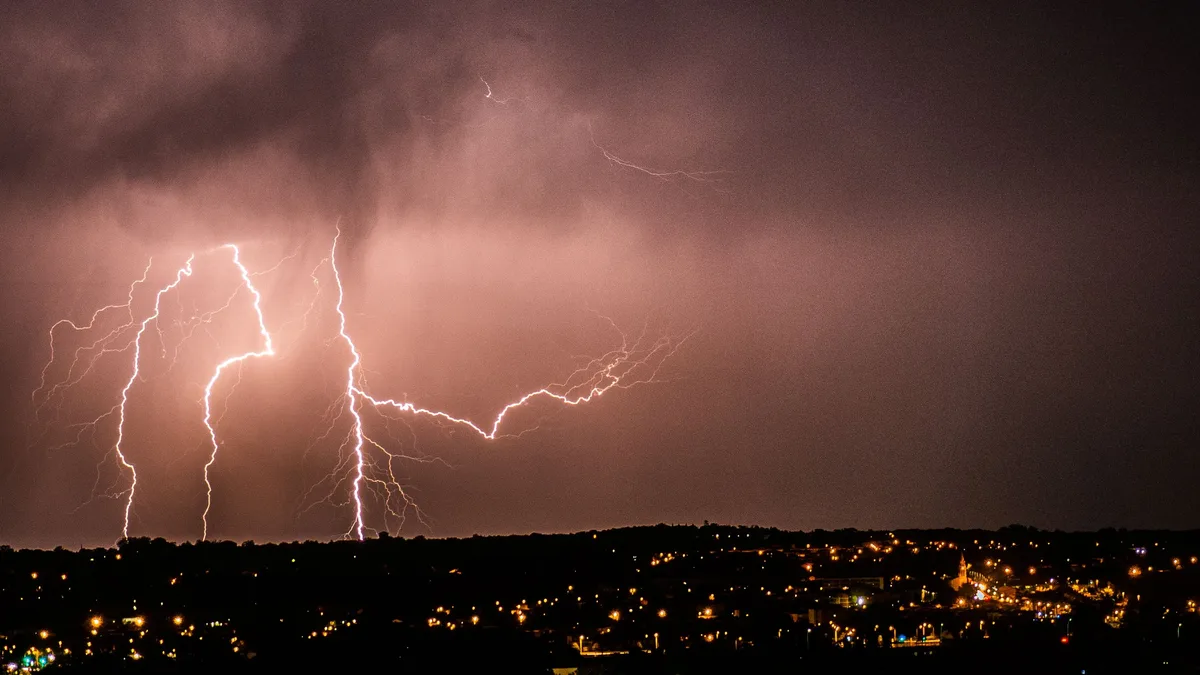
Midwest Faces Marginal Severe Thunderstorm Risk This Evening
The Storm Prediction Center issued a marginal risk for severe thunderstorms across parts of the Midwest and Southeast on November 11, 2026.
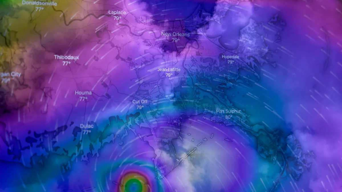
Subtropical Storm Josephine Intensifies Toward Hurricane Force
Subtropical Storm Josephine is rapidly intensifying into a hurricane-force extratropical cyclone, bringing gale-force winds, dangerous surf, and...
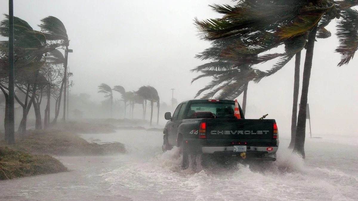
Subtropical Storm Josephine Brings Coastal Flooding and Gale Winds
Subtropical Storm Josephine, located 245 miles south of Nantucket with 65 mph winds, is forecast to intensify into a post-tropical cyclone with...

Severe convective storms set 2026 loss records in Europe and Canada
PERILS AG raised its July 2026 European convective storm loss estimate to €2.806 billion, a 28% increase. CatIQ increased its Ontario storm loss...
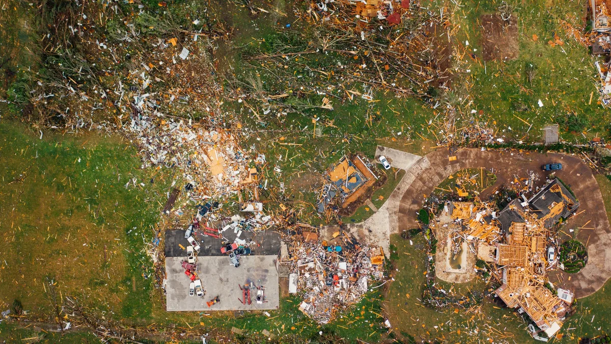
Raphaela storm is Europe's costliest convective storm on record
The severe convective storm 'Raphaela' caused €3.296 billion in insured losses across western Europe from August 26-28, 2026, driven by large hail...
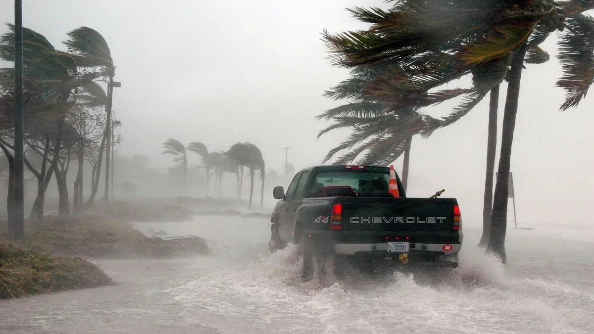
Typhoon Champi Hits Guam as Category 5 Storm
Typhoon Champi intensified to a Category 5 super typhoon after passing south of Guam, causing widespread power and water outages.