Subtropical Storm Josephine Brings Coastal Flooding and Gale Winds
Subtropical Storm Josephine, located 245 miles south of Nantucket with 65 mph winds, is forecast to intensify into a post-tropical cyclone with hurricane-force winds, bringing dangerous surf and coastal flooding to the Mid-Atlantic and New England.
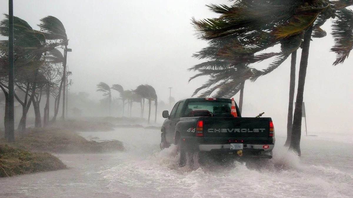
Subtropical Storm Josephine is churning 245 miles south of Nantucket with maximum sustained winds of 65 mph. The storm, moving north-northeast at 6 mph, is expected to turn northeast and accelerate away from the U.S. coast, but not before delivering a week of coastal hazards. It formed on Wednesday, October 21, as the tenth named storm of the 2026 hurricane season. As of late October 21, its center was near latitude 37.7 North, longitude 69.4 West, about 565 miles southwest of Halifax, Nova Scotia.
An increase in forward speed is expected by Thursday. The storm's forecast track will keep it well offshore from New England, but significant impacts will be felt through Friday. Large swells of 4 meters or higher are expected up to 1,000 kilometers from the center, primarily affecting the U.S. eastern seaboard and Atlantic Canada. Subtropical storms like Josephine have a radius of maximum winds relatively far from the center and a less symmetric wind field.
Wind threats
Forecasts indicate gale-force wind gusts up to 120 km/h and tropical-storm-force winds extending up to 665 km from the center. Maximum sustained winds are forecast to increase, with Josephine expected to become a post-tropical cyclone with hurricane-force winds later on Thursday. Further strengthening is likely by late Thursday.
| Location | Chance of Tropical-Storm-Force Winds | Chance of 50 kt (58 mph) Winds |
|---|---|---|
| Sable Island, Nova Scotia | 87% (through 1200 UTC Friday) | 27% |
| Cape Race, Newfoundland | 43% (through 0000 UTC Sunday) | Not specified |
Wind gusts in excess of 50 mph will be possible along the Cape and Islands and some coastal sections of Massachusetts. Storm-force winds extend up to 205 km from the center, primarily on the northwest side. The storm will strengthen on Thursday before steady weakening occurs Friday as it accelerates northeastward. No tropical storm watches or warnings are posted for any part of the mainland U.S. Forecaster Reinhart said: "There are no coastal watches or warnings in effect."
Coastal flooding and surf impacts
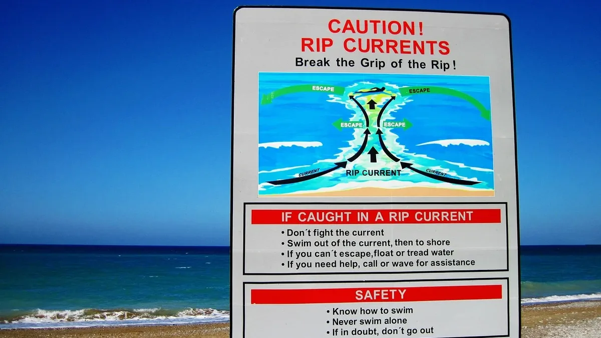
Minor to locally moderate coastal flooding is ongoing along portions of the U.S. Mid-Atlantic coast. This will continue through the rest of the week around times of high tide up through coastal New England. Large swells from Josephine are affecting the eastern seaboard of the United States and Atlantic Canada, creating life-threatening surf and rip current conditions.
Warnings and outlook
There are no coastal watches or warnings in effect. The storm is forecast to move away from the United States on Thursday, becoming a powerful extratropical cyclone. NHC forecasts Josephine to turn northeast on Thursday, accelerate, and become a post-tropical cyclone by early Monday. The storm is expected to strengthen further after early Thursday, potentially reaching hurricane-force winds as a post-tropical cyclone. It will then weaken on Friday as it accelerates northeastward.