Subtropical Storm Josephine Intensifies Toward Hurricane Force
Subtropical Storm Josephine is rapidly intensifying into a hurricane-force extratropical cyclone, bringing gale-force winds, dangerous surf, and coastal flooding to the U.S. East Coast and Atlantic Canada through the week.
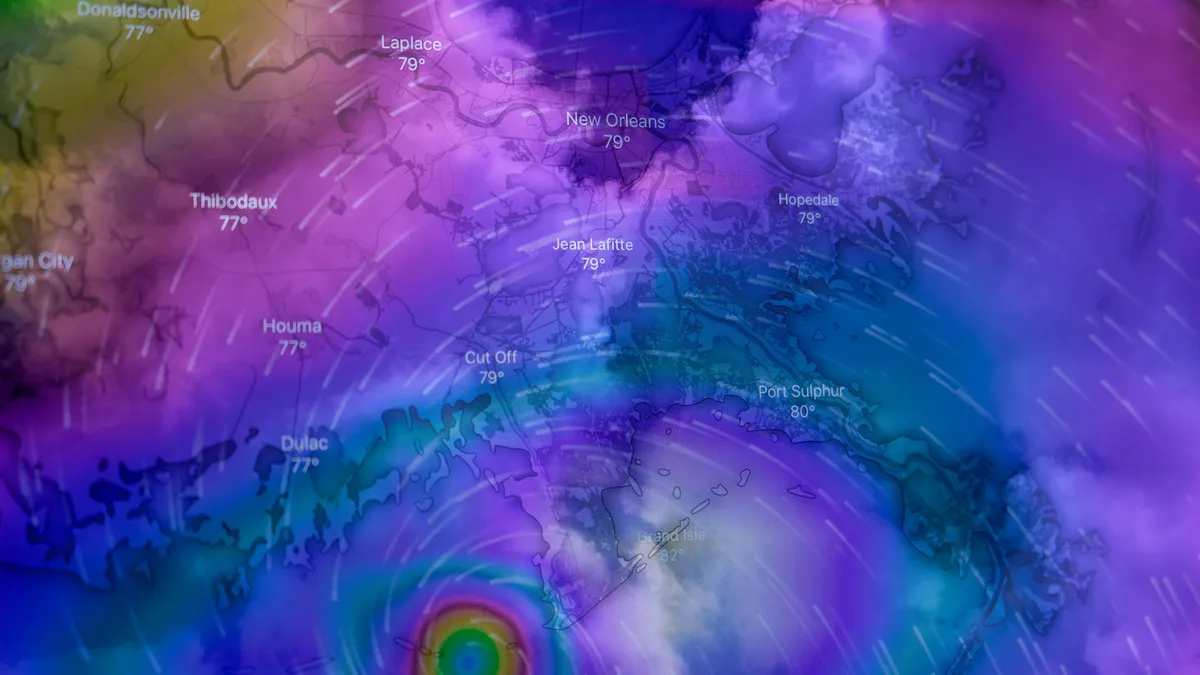
Subtropical Storm Josephine is rapidly intensifying into a powerful extratropical cyclone with hurricane-force winds expected tonight or early Friday. As of 1100 AM AST on October 22, 2026, the storm was located 200 miles southeast of Nantucket, Massachusetts, packing maximum sustained winds of 65 mph and a minimum central pressure of 988 mb.
The storm is moving northeast at 12 mph. It is forecast to transition into a hurricane-force extratropical cyclone within hours. Forecaster Beven said, "Subtropical Storm Josephine is expected to become a powerful extratropical cyclone with hurricane-force winds tonight or early Friday."
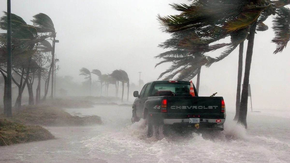
Josephine's wind field is extensive. Tropical-storm-force winds extend outward up to 415 miles, with the most significant reach to the northeast. Storm-force winds stretch up to 125 miles from the center. The system is generating massive seas, with waves of 13 feet or higher extending up to 620 miles.
| Measurement | Extent from Center |
|---|---|
| Tropical-storm-force winds (34 kt) | 415 miles (665 km) |
| Storm-force winds (50 kt) | 125 miles (205 km) |
| Seas of 13 ft (4 m) or higher | 620 miles (1000 km) |
Coastal Impacts
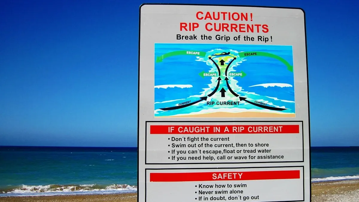
Life-threatening surf and rip currents are affecting the eastern seaboard while minor to moderate coastal flooding continues through the week. Large swells from Josephine are battering the coasts of the United States and Atlantic Canada.
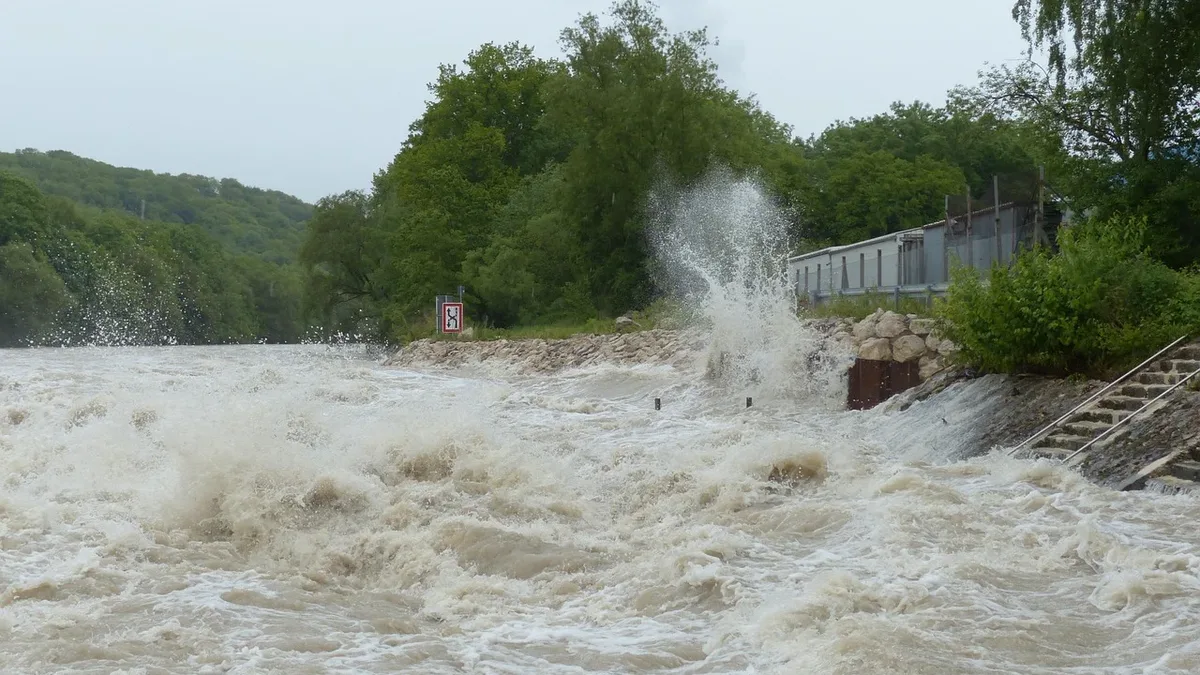
Minor to locally moderate coastal flooding is ongoing along parts of the U.S. Mid-Atlantic coast. This flooding will continue around times of high tide for the rest of the week. Gale-force wind gusts are also possible along portions of the northeastern U.S. coast through the day.
Current Position and Movement
The storm is located 200 miles southeast of Nantucket and 420 miles southwest of Halifax, moving northeast at 12 mph toward the open Atlantic. Its precise coordinates are 39.2N 67.3W.
Josephine is forecast to move away from the United States. It will pass south of Nova Scotia and Newfoundland during the next couple of days. The storm is expected to pass south of Newfoundland late Friday into Friday night.
There are no coastal watches or warnings in effect. The next complete advisory will be issued at 500 PM AST. The storm is the tenth named system of the 2026 Atlantic tropical cyclone season.
Ultimately, Josephine is forecast to be absorbed by a larger extratropical low over the North Atlantic by early Monday. The storm is forecast to continue moving northeast and turn toward the east on Friday and into the weekend.