Tropical Storm Isaias Forecast to Become Hurricane
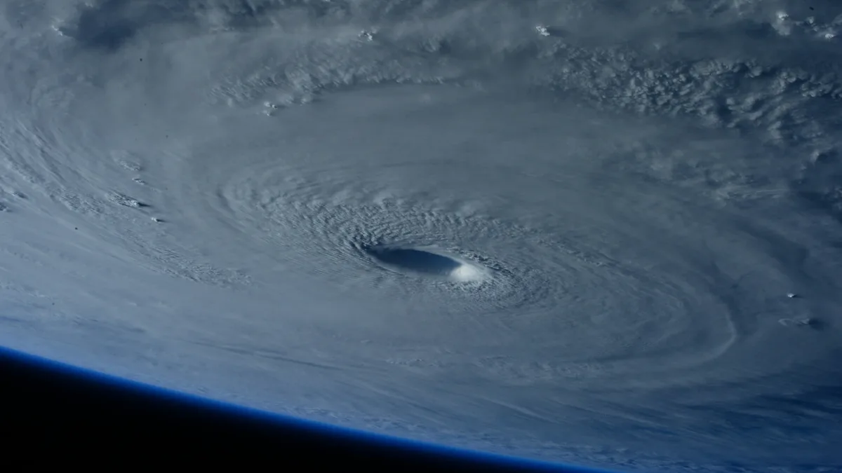
Tropical Storm Isaias formed in the Gulf of Mexico on October 7, 2026, and is forecast to rapidly intensify into a hurricane, bringing heavy rain and dangerous winds to the northern Gulf Coast by Friday.
Tropical Depression Nine strengthened into Tropical Storm Isaias over the Gulf of Mexico early on Wednesday, October 7, 2026. Maximum sustained winds were near 40 mph with higher gusts, and rapid strengthening is forecast, with Isaias expected to become a hurricane by Thursday. The National Hurricane Center upgraded the system based on satellite imagery, a nearby buoy observation, and a Dvorak classification of T2.5. Isaias formed in an area with limited wind shear and very high sea temperatures, conditions conducive to intensification.
Path and Watches Issued for Northern Gulf Coast
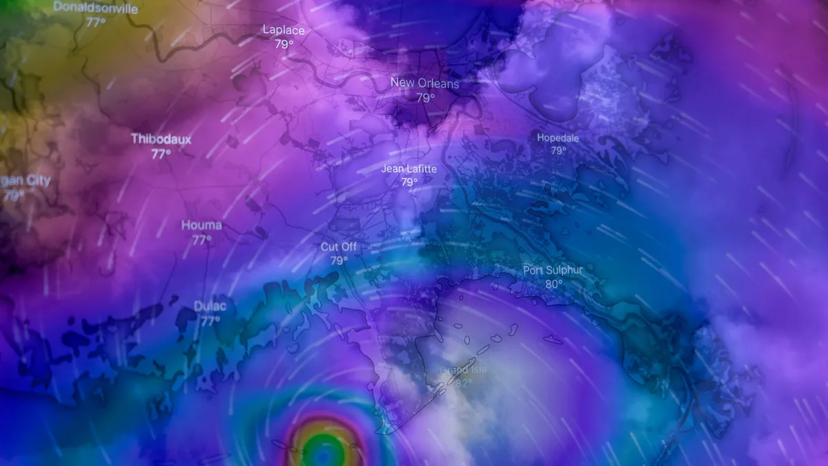
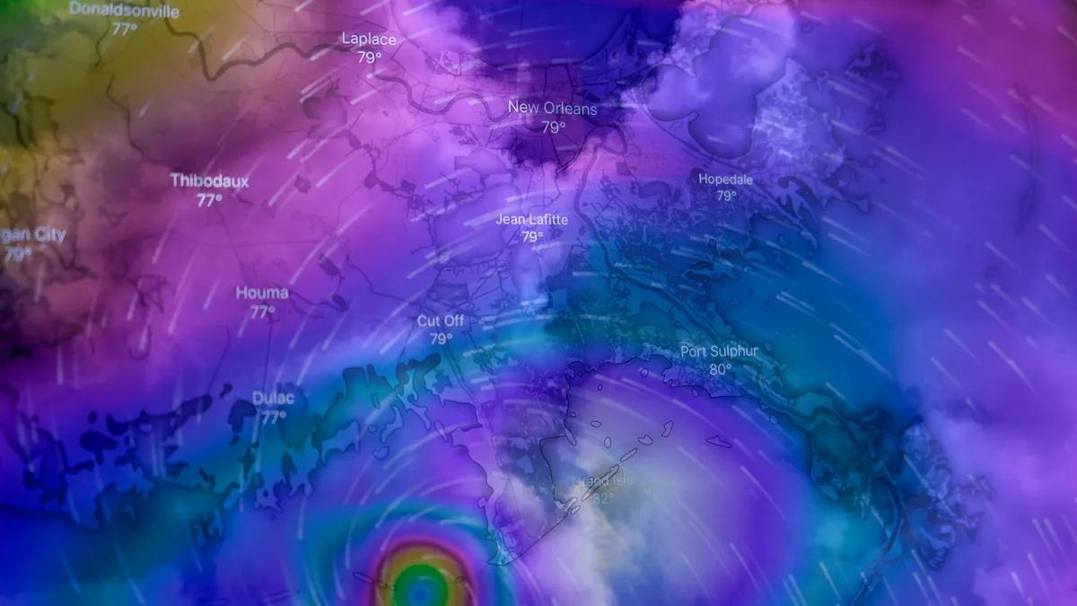
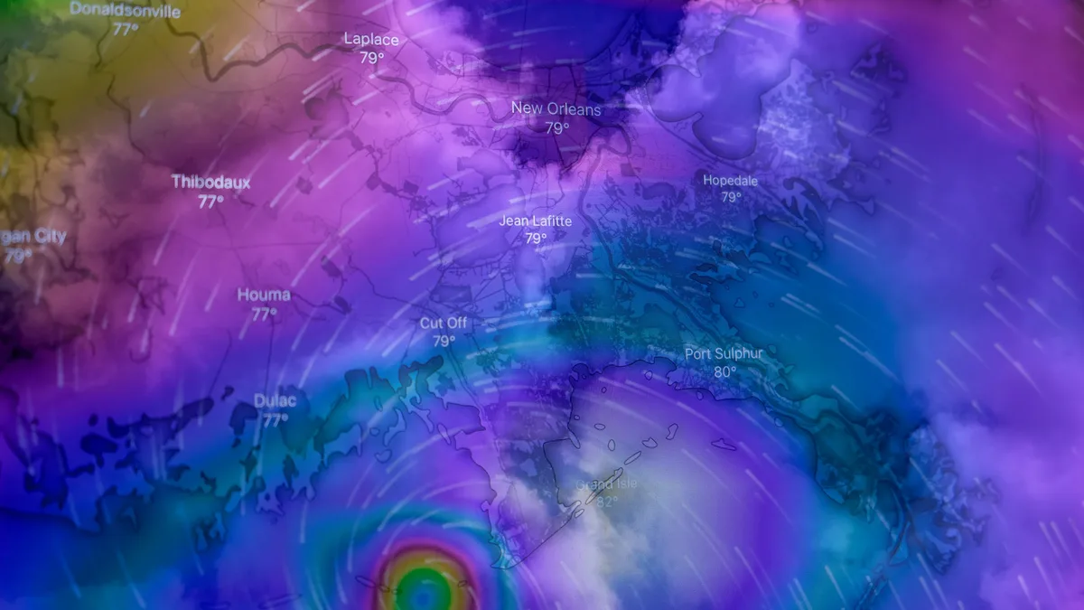
The storm is expected to pass north of Mexico's Yucatan Peninsula on Thursday before approaching the U.S. northern Gulf Coast on Friday. An east-northeast motion is expected Wednesday, followed by a turn toward the northeast and north. As of 4:00 a.m. CDT Wednesday, the center of Isaias was located about 285 miles west of Progreso, Mexico, and 580 miles southwest of the mouth of the Mississippi River. The National Hurricane Center said confidence in the track forecast remains below average because of significant spread among models. The agency stated, "Hurricane and Storm Surge Watches will likely be required for a portion of the northern Gulf Coast later today."
Rainfall and Flood Risks Along the Gulf Coast
Heavy rain is forecast from far southeast Louisiana to the Florida Panhandle from Friday through the weekend. Flash and urban flooding, along with isolated river flooding, will be possible.
| Region | Forecast Rainfall | Localized Maximum |
|---|---|---|
| Southeast Louisiana to Florida Panhandle | 3 to 6 inches (75-150 mm) | Up to 10 inches (250 mm) |
| Much of the Southeast (TN Valley, Carolinas) | 1 to 3 inches (25-75 mm) | Up to 5 inches (125 mm) |
| Coastal Bay of Campeche & Yucatan Peninsula | 2 to 4 inches (50-100 mm) | Isolated higher amounts |
Emergency Preparations and Coastal Impacts
Florida Governor Ron DeSantis declared a state of emergency across 25 counties. Residents from Louisiana to the Florida Panhandle are urged to monitor forecasts and have their hurricane plans ready. The Yucatan Peninsula could experience gusty winds and heavy rain over the next day or two. Dangerous winds and storm surge that could inundate low-lying coastal areas are anticipated for the U.S. Gulf Coast.
Short-Term Outlook and Dissipation
Isaias is forecast to peak as a Category 2 hurricane with winds near 110 mph over the central Gulf on Thursday night. The latest track shows an eastward shift from previous forecasts. Strong wind shear is expected to increase before landfall, but the National Hurricane Center said it is looking more likely that Isaias will be a significant hurricane when it reaches the coast, with an expanding wind field. The forecast shows the center moving inland along the northern Gulf Coast by early Saturday with winds near 85 mph. Isaias is then forecast to weaken rapidly inland, become post-tropical over the southeastern United States by Sunday, and dissipate by Monday. This storm is the ninth of a record-breakingly quiet 2026 Atlantic hurricane season, a pattern suppressed by the wind shear associated with a growing El Niño.