Hurricane Polo remnants fuel Four Corners
Remnants of Hurricane Polo are driving a significant flash flood threat across the Four Corners region, with heavy rain forecast through September 30

Heavy rain is forecast across the Four Corners region through 05:00 PT on September 30, 2026, fueling a flash flood threat from Hurricane Polo remnants. Moderate Risk excessive-rainfall outlooks, level 3 of 4, cover much of Arizona and New Mexico and parts of southern Utah and southern Colorado. This corresponds to a 40% or greater probability of flash flooding. The setup is driven by tropical moisture from Hurricane Polo and the remnants of Odalys spreading into the interior southwestern United States, combined with dynamical forcing for ascent.
Heavy rain forecast for Four Corners through September 30
The National Weather Service Weather Prediction Center forecasts at least 50-100 mm (2-4 inches) of total precipitation across much of eastern Arizona, western New Mexico, and the San Juan Mountains of southwestern Colorado through 05:00 PT (12:00 UTC) on September 30. This heavy rainfall is expected to lead to flash flooding. On Tuesday, September 29, high-risk flash flood conditions spanned southern and eastern Arizona, much of New Mexico, southern Colorado, the Texas and Oklahoma Panhandles, and southwestern Nebraska. Forecast rainfall rates were expected to exceed 25 to 50 mm (1 to 2 inches) per hour.
Torrential downpours already inundated roads in southern New Mexico early Tuesday, temporarily trapping several drivers in their vehicles. The rainfall pattern was expected to shift eastward on Wednesday and Thursday across Texas, Oklahoma, and the Midwest, putting major urban areas like Dallas, Oklahoma City, and St. Louis at elevated risk.
River flooding expected in Arizona
The Little Colorado River is forecast to exceed flood stage at Winslow and Holbrook, Arizona, later in the week. At Holbrook, the river was at 1.99 m (6.53 feet) at 12:30 MDT on September 28. Flood stage there is 4.72 m (15.5 feet). The forecast hydrograph showed a rise to approximately 5.43 m (17.82 feet) around September 30. Six other stream gauges in the area are forecast to exceed action stage.
Deterministic and ensemble model guidance showed the potential for some watersheds in northeastern Arizona and northwestern New Mexico to receive more than 20% of normal total water-year precipitation from this single event.
Moisture dynamics and model divergence drive uncertainty
Integrated water vapor was forecast to exceed 40 mm over southern Arizona and approach 30 mm across portions of the Upper Colorado River Basin. However, forecast precipitation amounts remained uncertain due to significant divergence between major weather models. The table below shows the difference in ensemble forecasts for the Middle Little Colorado watershed.
| Model Ensemble | Mean Forecast Precipitation | Members Forecasting >20% of Annual Precipitation | Members Forecasting >10% of Annual Precipitation |
|---|---|---|---|
| ECMWF | 63.5 mm (2.50 inches) | >50% | Not specified |
| GEFS | 37.3 mm (1.47 inches) | Not specified | ~50% |
The difference between the European and American model ensemble means was approximately 26.2 mm (1.03 inches). A mid-level shortwave trough over California was forecast to slowly propagate eastward, merging with the tropical moisture. Experts pointed out that preceding tropical air streams often set up intense pre-storm rainfall bands well ahead of the primary system center.
Hurricane Polo’s path and broader impacts
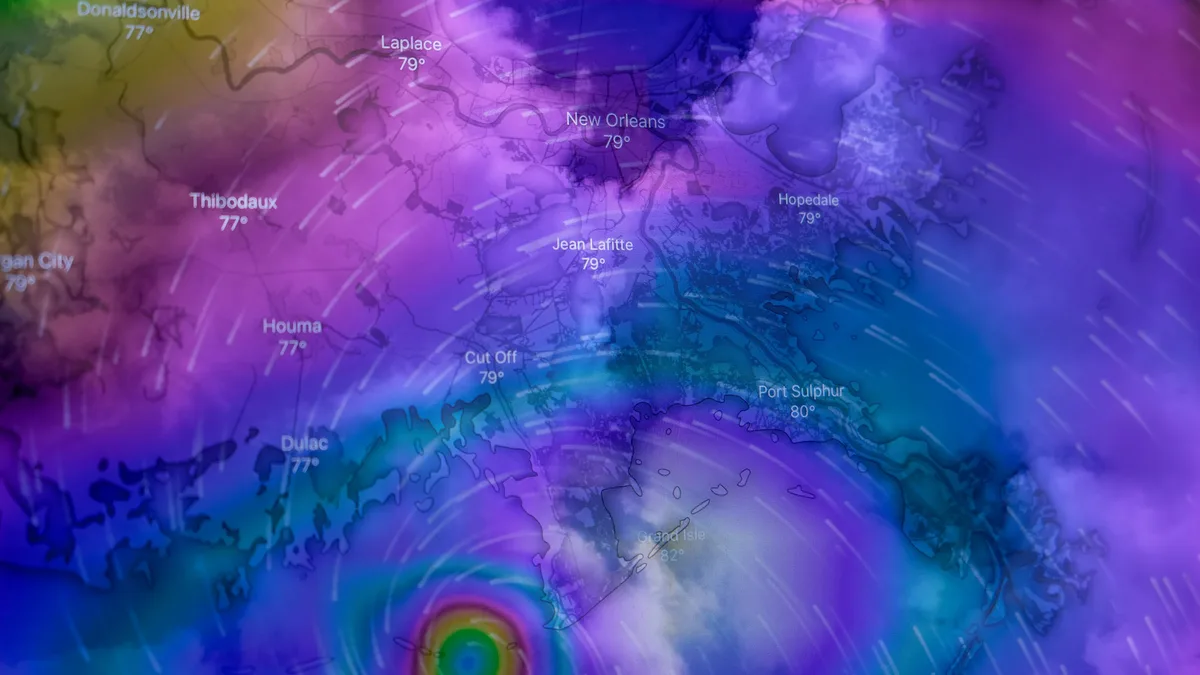
As of 08:00 PT on September 28, Hurricane Polo was located less than about 160 km west of the Baja Peninsula with maximum sustained winds of approximately 185 km/h (115 mph). Polo made landfall in Baja California Sur as a powerful storm, bringing storm surge, dangerous winds, and extreme rainfall to parts of western Mexico. After landfall, it accelerated toward the Gulf of California and was forecast to make a second landfall in Sonora, Mexico.
The influx of moisture from Polo and Odalys is merging with a separate upper-level low pressure system from the West. Meteorologist Marc Chenard noted the scale of the event, saying, "Even if we didn't have Polo, this will produce a widespread area of heavy rainfall."
Rainfall from the event will likely provide some drought relief to parts of the southwestern United States, especially areas experiencing severe-to-exceptional drought in New Mexico and southern Colorado. A secondary system moving from the West was expected to draw additional tropical moisture from the Gulf of Mexico, compounding the heavy rainfall risks later in the week. Readers should monitor official NWS forecasts, watches, and warnings and follow guidance from local emergency management officials.