Weather Prediction Center
| Headquarters | College Park, Maryland |
|---|---|
| Governing body | National Weather Service |
| Primary function | Issuing forecasts and analyses for hazardous weather |
| Hazard focus | Heavy rainfall, winter weather, fire weather, convective outlooks |
| Products issued | Watches, Mesoscale Discussions, Excessive Rainfall Outlooks |
| Forecast period | Up to 8 days (medium-range) |
Overview
The Weather Prediction Center is a national forecast center operated by the United States government under the National Oceanic and Atmospheric Administration. Its primary mission is to provide critical forecast guidance for hazardous weather events that involve substantial rainfall, snowfall, and the potential for extreme winter weather. The center focuses on predicting the magnitude and location of precipitation and issuing key watches and warnings days in advance of significant events. It serves as a central hub for analyzing and communicating the threats of flooding, heavy snow, and freezing rain to other government agencies and the public. The forecasts produced by this center are foundational for local National Weather Service offices, emergency managers, and decision-makers across the country. Its work is distinct from severe thunderstorm or hurricane prediction, concentrating instead on the widespread, precipitation-driven hazards that can paralyze regions and cause catastrophic water damage.
History
The origins of the Weather Prediction Center trace back to the mid-20th century within the United States Weather Bureau. It evolved from earlier forecast units, most notably the National Meteorological Center, which was established in the 1950s to centralize weather analysis and prediction. The center's modern form and name were solidified in the late 20th century as part of a broader restructuring of the National Weather Service to specialize forecast functions. Throughout its history, the center has been physically located in various facilities, including Suitland, Maryland, and its current operations are based in College Park, Maryland. Its development has been intrinsically linked to advancements in computer modeling and telecommunication technologies, which transformed its ability to produce and disseminate guidance. The center's historical role has consistently been to provide large-scale, medium-range forecasts that serve as the starting point for more localized predictions across the nation.
How it works today
The Weather Prediction Center operates 24 hours a day, utilizing a vast array of observational data from satellites, radar, surface stations, and upper-air balloons. Forecasters at the center analyze this data alongside output from multiple sophisticated numerical weather prediction models run by global supercomputers. They synthesize this information to create detailed forecasts for quantitative precipitation, winter weather, and heavy rainfall risks, often issuing graphical products and discussions several days before a potential event. A key function is the issuance of Mesoscale Precipitation Discussions, which highlight areas where flash flooding is imminent in the next few hours. The center also produces the Day 3-7 Excessive Rainfall Outlooks and the Day 4-7 Winter Weather Outlooks, providing extended lead times for preparedness. These products are disseminated directly to local forecast offices, emergency managers, and the public through official NOAA channels, ensuring a consistent national message for high-impact weather.
Why it matters
The Weather Prediction Center matters because its forecasts are the first official indication of large-scale, precipitation-driven disasters that can claim lives and cause billions of dollars in damage. By providing a multi-day lead time on the potential for extreme rainfall or crippling snowstorms, the center enables proactive emergency response, reservoir management, and public safety messaging. Its guidance is essential for local National Weather Service offices, which lack the resources for deep analysis of multiple global models and rely on the center's expertise to focus their local warnings. The center's unified national forecasts prevent a fragmented warning system where adjacent regions might receive conflicting information about an approaching major storm. Furthermore, its products are critical for sectors like transportation, agriculture, and water resource management, which make billion-dollar decisions based on anticipated rainfall and snowfall. Ultimately, the center's work fills the crucial forecast gap between general large-scale pattern predictions and highly localized severe weather warnings.
Common misconceptions
A common misconception is that the Weather Prediction Center issues the final, official warnings for floods and winter storms seen by the public; in reality, it provides the foundational guidance, while local NWS offices issue the specific warnings and advisories for their counties. Another misunderstanding is that the center predicts all types of severe weather, when its mandate is specifically focused on precipitation-related hazards, leaving tornadoes and severe thunderstorms to other specialized centers. Some people believe the center's forecasts are generated solely by computers, overlooking the essential role of human forecasters who interpret and correct model biases based on experience and current observations. There is also a misconception that a "watch" issued by the center is less serious than a "warning," when in fact a watch indicates a broader area where dangerous conditions are possible and is a critical signal for preparedness. Finally, the public often underestimates the danger of the rainfall events the center highlights, not realizing that inland flooding from rainfall is a leading cause of weather-related fatalities, distinct from coastal storm surge.
Latest Weather Prediction Center news
Latest reporting
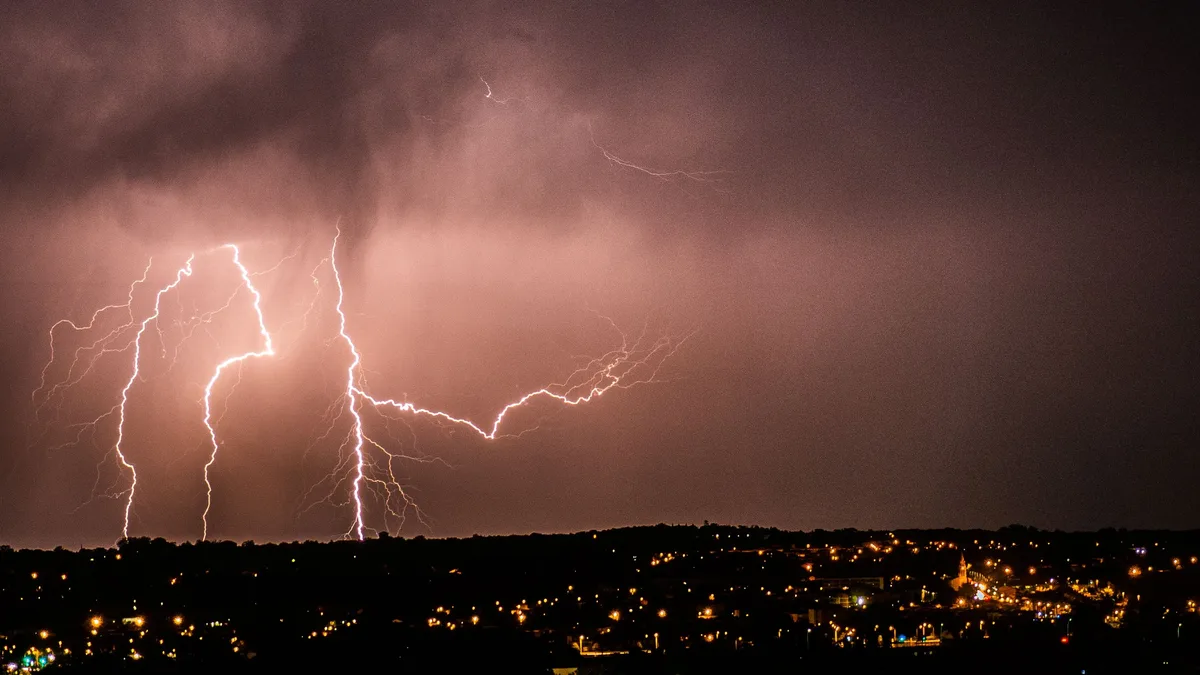
Midwest Faces Marginal Severe Thunderstorm Risk This Evening
The Storm Prediction Center issued a marginal risk for severe thunderstorms across parts of the Midwest and Southeast on November 11, 2026.
AI Fallback Method Aims to Keep Cyclone Insurance Payouts Flowing
Liberty Mutual Re and Celest.Science are developing an AI-powered fallback methodology for parametric tropical cyclone insurance to ensure claims can...
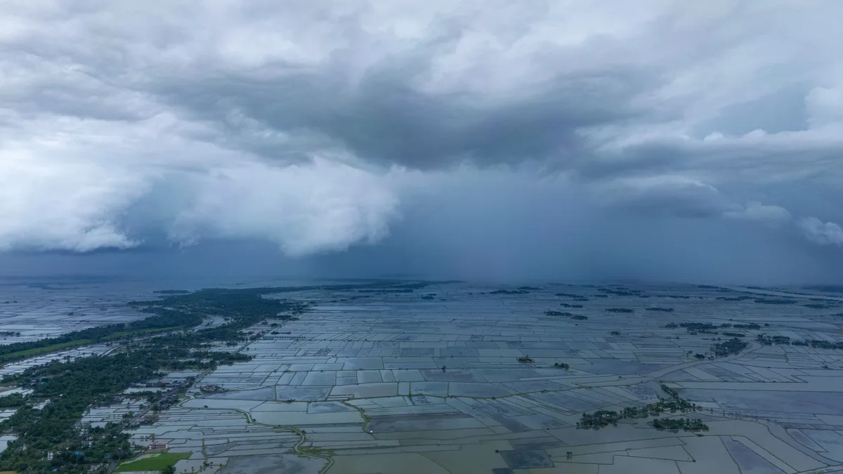
Canadian Prairies summer 2026 extreme weather causes $1.8 billion in insured losses
Ten extreme weather events across the Canadian Prairies in summer 2026 caused over $1.8 billion in insured losses, driven by severe flooding and hail.
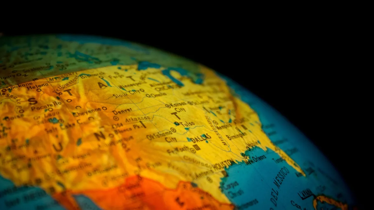
NOAA Expands Flood Mapping to Nearly All Americans
NOAA's National Weather Service has expanded experimental Flood Inundation Mapping to cover nearly 100% of the U.S. Population, a major increase from...
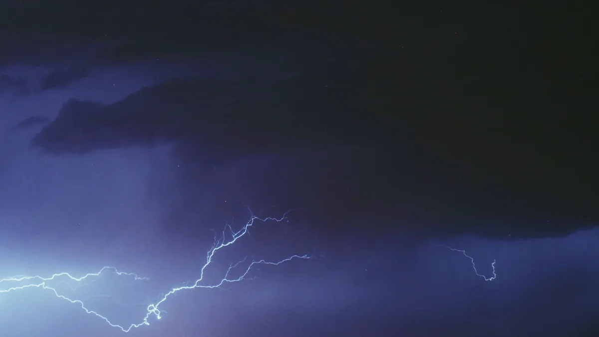
Severe Thunderstorm Watch Issued for Eastern Colorado
The National Weather Service Storm Prediction Center issued Severe Thunderstorm Watch 674 at 9:00 PM MDT on Sunday, September 20, 2026.
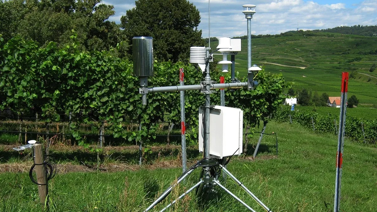
NOAA expands weather network with Mesonet
NOAA's National Weather Service will expand its National Mesonet Program through a new contract with KBR Wyle Services, LLC, beginning September 1.