Severe Thunderstorm Watch Issued for Eastern Colorado
The National Weather Service Storm Prediction Center issued Severe Thunderstorm Watch 674 at 9:00 PM MDT on Sunday, September 20, 2026.
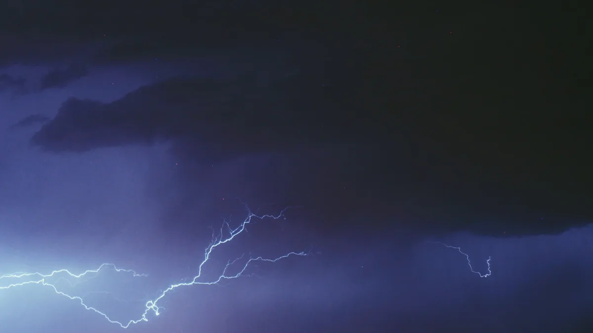
The National Weather Service Storm Prediction Center (SPC) in Norman, Oklahoma, issued an urgent Severe Thunderstorm Watch for parts of eastern Colorado and western Kansas late Sunday evening. The watch, numbered 674, is effective from 9:00 PM MDT on September 20, 2026, until 3:00 AM MDT on Monday morning.
According to the SPC, the primary threats are scattered large hail and isolated very large hail events up to 2 inches in diameter. Isolated damaging wind gusts reaching 60 mph are also possible.
Meteorological Summary
The SPC summary states that easterly low-level winds and a moist air mass will support additional strong to severe thunderstorm development through the evening. Forecasters indicate some of these storms will be capable of producing large hail and locally damaging winds into the overnight hours.
Watch Area and Precautions
The severe thunderstorm watch area is approximately along and 60 statute miles north and south of a line from 20 miles north northwest of Colorado Springs, Colorado, to 50 miles south of Goodland, Kansas. The SPC reminds the public that a Severe Thunderstorm Watch means conditions are favorable for severe thunderstorms in and close to the watch area.
Persons in these areas should be on the lookout for threatening weather conditions and listen for later statements and possible warnings. The advisory notes that severe thunderstorms can and occasionally do produce tornadoes.
Aviation and County Details
For aviation interests, the watch warns of a few severe thunderstorms with hail surface and aloft to 2 inches, extreme turbulence, and surface wind gusts to 50 knots. A few cumulonimbi with maximum tops to 550 are expected, with a mean storm motion vector of 30020.
Subsequent status reports from the SPC detailed the evolving threat. The initial report indicated the severe weather threat continued across the entire watch area. Later reports specified the threat continued right of certain geographical lines, listing affected counties.
The status reports are for guidance purposes only. The SPC directs the public to refer to official Watch County Notification Statements for final information on areas cleared from the watch.
Continuing Threat
The watch was linked with continuing watch WW 673. The SPC's final status messages, issued around 7:40 AM UTC, continued to list a cluster of Colorado and Kansas counties under threat. The forecast from the SPC's Guyer concluded the official watch product, emphasizing the overnight hazard.