Florida Flood Watch Issued as Slow-Moving Front Brings Heavy Rain
A Flood Watch is in effect for northeastern Florida and Camden County, Georgia, from 10:00 to 20:00 EDT on October 6, 2026, due to forecast rainfall of 76-127 mm (3-5 inches). The threat combines a slow-moving front and a developing tropical disturbance in the Gulf of Mexico.
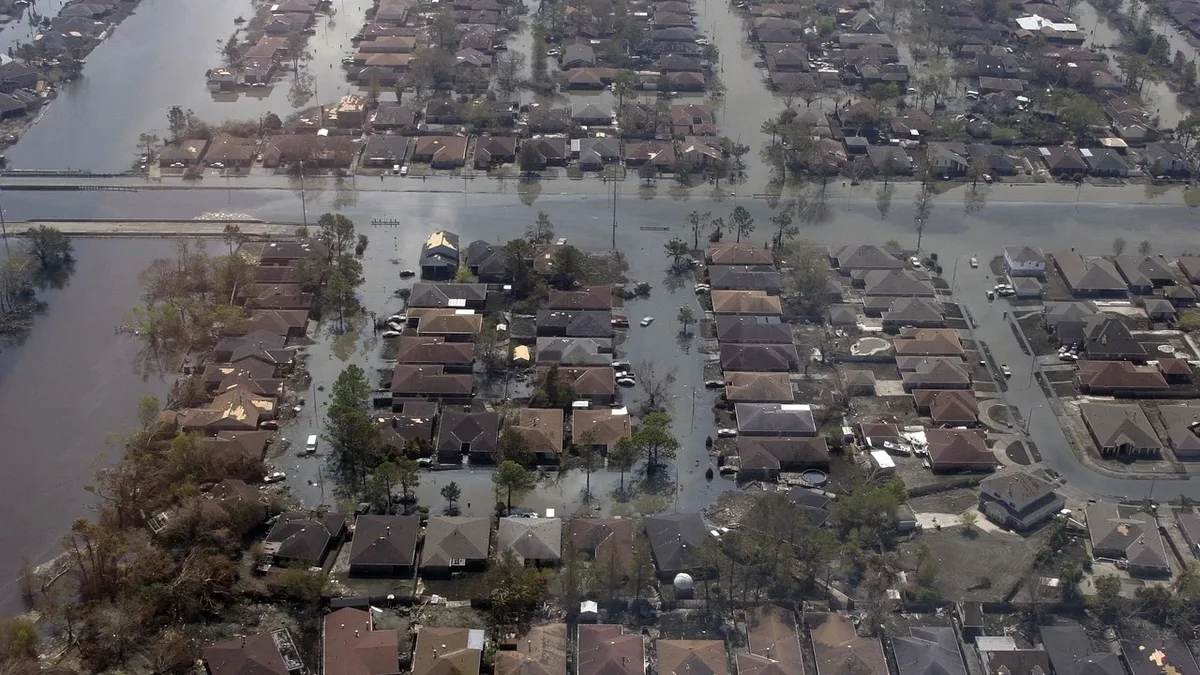
The National Weather Service issued a Flood Watch for parts of northeastern Florida and Camden County due to expected heavy rainfall from a slow-moving front. NWS Jacksonville issued the Flood Watch at 01:12 EDT (05:12 UTC) on October 6. It is in effect from 10:00 to 20:00 EDT on October 6, 2026. Forecasters warn of locally 76-127 mm (3-5 inches) of rain. Soils were already saturated from recent rains. This increases vulnerability in urban and poor-drainage locations.
A slow-moving front moved southward from Georgia and Alabama into northern Florida. It is now stalling. The region's flat, sandy and swampy terrain is expected to limit a broader flash-flood threat. Isolated incidents are still likely. Localized training storms could produce heavier rainfall. Excessive runoff is capable of flooding urban, low-lying areas.
Rainfall forecasts and flood risks across Florida regions
Forecasts indicate widespread rainfall across northern Florida. The Weather Prediction Center placed much of Florida and far southeastern Georgia under a Marginal Risk of excessive rainfall through 08:00 EDT on October 7. The front is forecast to stall near Florida’s Big Bend and First Coast on October 7. Drier air should reduce rainfall near the Interstate 10 corridor. The main focus will then shift toward the Interstate 4 corridor.
WPC rainfall forecasts for the period are as follows:
| Region | Forecast Rainfall |
|---|---|
| Much of northern Florida | 25-76 mm (1-3 inches) |
| Gulf Coast side of I-4 corridor | 25-76 mm (1-3 inches) |
| Atlantic side of I-4 corridor | 25-51 mm (1-2 inches) |
| Localized areas with repeated storms | Up to 152 mm (6 inches) |
A Marginal Risk remains in effect across much of Florida from October 8 through October 9. The stalled front is forecast to retreat northward as a warm front. This will return the heaviest rain to parts of northern Florida. An isolated flash-flood threat is maintained.
Tropical disturbance AL92 develops in the Gulf, adding to rainfall threat
A separate tropical disturbance is developing in the southwestern Gulf of Mexico. It is designated AL92. The National Hurricane Center said it gave AL92 an 80% chance of tropical cyclone formation through both 48 hours and seven days. A tropical depression is likely to form within the next couple of days.
The disturbance is forecast to drift east-northeastward through midweek before turning northward. The NHC said it is too early to determine specific impacts along the northern Gulf Coast. The WPC expects the rainfall pattern to change after Thursday. AL92’s circulation will move northeastward and interact with an approaching upper-level trough.
A Slight Risk of excessive rainfall will cover parts of the northern Gulf Coast beginning October 9. It expands into parts of the Lower Mississippi Valley, Tennessee Valley and Southeast during the weekend. Forecast confidence is increasing that a swath of 76-178 mm (3-7 inches) of rain will fall. The WPC described its Day 5 outlook as a high-end Slight Risk. It withheld a Moderate Risk due to uncertainty over the tropical development.
Local flood advisories in effect for St. Johns and Duval Counties
Local Flood Advisories are already active. One is for central St. Johns County until 4:45 p.m., including Anastasia and St. Augustine. Radar estimates show 1 to 3 inches of rain has fallen there since this morning. An additional inch is expected through early evening.
A Flood Advisory continues along the Atlantic from Talbot Island to I-295 for northeastern Duval County through 2:30 p.m. One to two inches of rain has fallen there since around noon. Another 1 to 2 inches is possible through around 4 p.m.
Deep tropical moisture, the stalled front, and increasing northeast winds are combining to produce waves of rain. Some will be locally heavy. Rainfall of 1 to 2 inches is possible along and near I-95. Locally heavy amounts of 3 to 4 inches are possible with training cells. Areas west of the River and near I-75 will see lighter rain totals around 0.50 to 1.5 inches.
Storms are not expected to be severe but could disrupt travel. The northeast wind will increase to 15-20 mph with gusts of 25-35 mph along beaches. Main hazards include rip currents, high surf, and beach erosion. Additional minor flooding is possible along the St. Marys and St. Johns rivers during high tide. Tidal increases of 1.5 to 2.5 feet above normally dry ground are possible through Thursday. Nor’easter conditions and unsettled weather will continue through Friday.
The broader heavy-rain threat is forecast to shift along the northern Gulf Coast from Friday as disturbance AL92 moves northeastward. The stalled front is forecast to retreat northward as a warm front, returning the heaviest rain to parts of northern Florida while the Marginal Risk of excessive rainfall remains in effect.