Tropical Storm Edouard Threatens Gulf Coast
Tropical Storm Edouard is expected to strengthen as it approaches the northwest Gulf Coast later today, bringing tropical storm conditions, potential
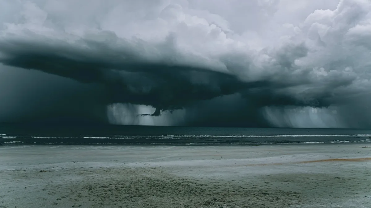
Tropical Storm Edouard is located 85 miles southeast of Cameron, Louisiana, and is moving west-northwest at 7 mph. The storm, with maximum sustained winds of 40 mph, is expected to reach the northwestern Gulf Coast later today, according to the National Hurricane Center's 1:00 AM CDT advisory on Tuesday, September 1, 2026. A west-northwest to northwest motion is forecast over the next day or two. The center of Edouard is predicted to move inland over southeast Texas tonight. Forecasters warn that strengthening is expected, and Edouard could approach hurricane strength before landfall. For the latest on the storm's projected path, see our fixtures page.
Watches and Warnings
Multiple warnings and watches are in effect for the Texas and Louisiana coastline. A Storm Surge Warning is active from High Island, Texas, to the Vermilion/Cameron Parish line in Louisiana. A Hurricane Watch is in effect from High Island to Cameron, Louisiana. A Tropical Storm Warning covers the area from Port Bolivar, Texas, to the Vermilion/Iberia Parish line in Louisiana.
The National Hurricane Center states that a Storm Surge Warning indicates "a danger of life-threatening inundation" from rising water moving inland within the next 24 hours. A Hurricane Watch means hurricane conditions are possible within the watch area in the next 24 hours. A Tropical Storm Warning means tropical storm conditions are expected within the warning area in the next 12 to 24 hours.
Forecast Hazards
Tropical storm conditions are expected to reach the coast within the warning area later this morning. Hurricane conditions are possible within the Hurricane Watch area later today. Tropical-storm-force winds extend outward up to 25 miles from the storm's center. The minimum central pressure of the storm is 1005 mb.
The combination of storm surge and tide is forecast to cause coastal flooding. The predicted water heights above ground, if the peak surge coincides with high tide, are shown below.
| Location | Forecast Surge Height |
|---|---|
| High Island, TX to Vermilion/Cameron Parish Line, LA | 3-5 feet |
| Vermilion/Cameron Parish Line, LA to Morgan City, LA | 1-3 feet |
The deepest water will occur along the immediate coast near and to the right of the storm's center. Surge-related flooding can vary greatly over short distances.
Rainfall and Flooding Threat
Edouard is expected to produce significant rainfall. Forecast totals are 3 to 6 inches, with isolated maximums up to 9 inches, for parts of the Upper Texas Coast inland through east-central Texas. Far southwestern Louisiana could see 2 to 3 inches.
This rainfall is likely to produce flash flooding, especially in low-lying and urban areas. River flooding may also be possible. For detailed historical data on similar weather events, you can review our stats page. Rapid weakening is expected after the center moves inland. The next complete advisory from the National Hurricane Center is scheduled for 4:00 AM CDT.