Typhoon Dujuan's Record Rainfall Kills 12 in Japan
Typhoon Dujuan unleashed unprecedented rainfall and deadly landslides across eastern Japan, killing at least 12 people and leaving three missing as of
Typhoon Dujuan caused 12 deaths and three people missing in Japan as of September 24, 2026. The storm's 48-hour rainfall total reached a historic 832 mm (32.76 inches) at Oshima in Tokyo’s Izu Islands, the highest level recorded since measurements began in December 1991. Sustained winds reached 130 km/h with gusts up to 194 km/h as the typhoon, known in Japan as Typhoon No. 25, battered the Kanto region on September 21 and 22 before moving northeast over the Pacific.
Human Toll and Search Operations
Japan’s Fire and Disaster Management Agency reported severe casualties primarily across Kanagawa and Chiba prefectures. The agency's figures listed seven deaths in Chiba and four in Kanagawa, with one additional fatality also recorded in Kanagawa. In Chiba Prefecture, a 51-year-old municipal worker in Sodegaura died after falling into a bamboo grove while clearing debris with heavy machinery. A man in his 70s, missing after a landslide in Kamogawa, was later confirmed dead. In Kanagawa Prefecture, a 64-year-old woman was found dead in her Yokosuka city residence after mud inundated the ground floor. Four people remain missing across Yokosuka and Chiba Prefectures. Emergency search operations involving personnel from local police, fire departments, and the Self-Defense Forces continued in Chiba and Kanagawa.
Infrastructure Damage and Disruptions
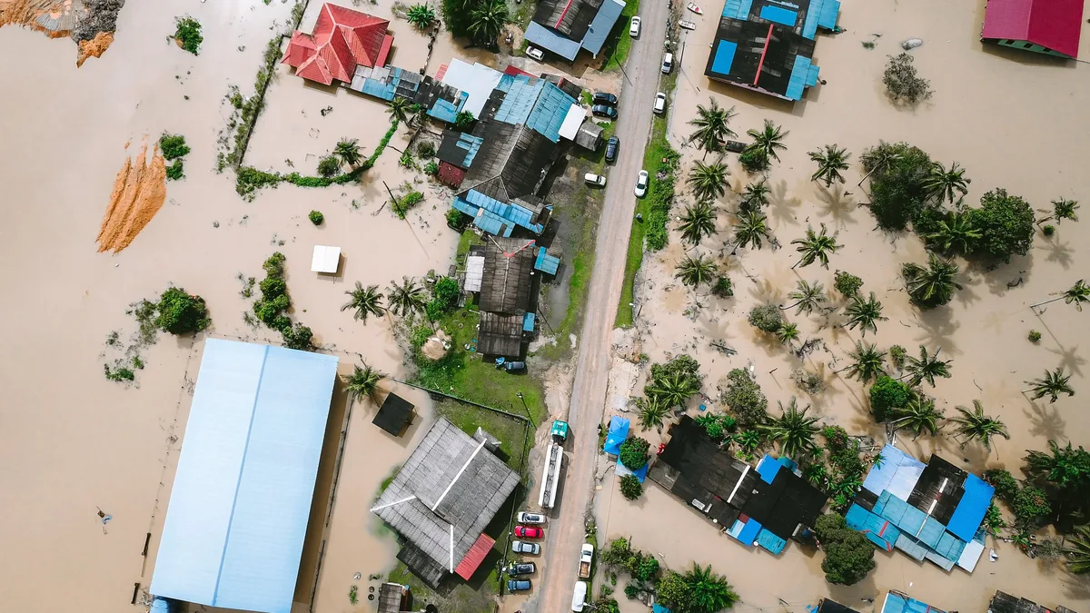
Flooding and landslides triggered widespread infrastructure damage. In Chiba, approximately 100 meters of the North Inbanuma embankment failed near Funakata in Narita on September 22. Following Chiba’s request, the Ministry of Land, Infrastructure, Transport and Tourism dispatched its Technical Emergency Control Force to support emergency embankment restoration at three confirmed breach locations. Kanagawa’s damage assessment listed three destroyed residential buildings and four partly damaged buildings. It also recorded six slope failures in Yokohama and multiple road closures.
| Location | Rainfall Total (mm) | Rainfall Total (inches) |
|---|---|---|
| Oshima, Tokyo (48-hour) | 832 | 32.76 |
| Miura, Kanagawa | 365.5 | 14.39 |
| Yamate, Yokohama | 342 | 13.46 |
| Tsujido, Fujisawa | 249.5 | 9.82 |
| Hiyoshi, Yokohama | 242 | 9.53 |
Over 470 buildings were damaged across the region. On September 21, about 500 flights at Tokyo's Narita and Haneda airports were canceled. Tokyo Electric Power Grid reported over 42,000 households without electricity, and major rail operators suspended regional transit lines. Authorities had urged more than 1.9 million residents to evacuate across five prefectures, including Tokyo, and over 74,000 remained under strict evacuation instructions.
Meteorological Context and Climate Drivers
The Izu Islands and Kanto region were covered by well-developed rain clouds for extended periods. The 832 millimeters of rainfall on Izu Oshima is more than 2.4 times the average rainfall for the entire month of September. Climatologists noted that ocean warming driven by a super El Niño phenomenon heightened the storm's intensity. Rising atmospheric temperatures allowed the system to hold elevated moisture levels, resulting in heavier localized rainfall. The storm became an extratropical cyclone far east of Japan by the evening of September 22.
Authorities warned that dangers persist. Chiba Prefecture said "saturated ground could produce further landslides even with light rainfall" and urged caution over flooding in low-lying areas and rising or overflowing rivers. Search and rescue operations continued in Chiba and Kanagawa as officials assessed the unstable terrain.