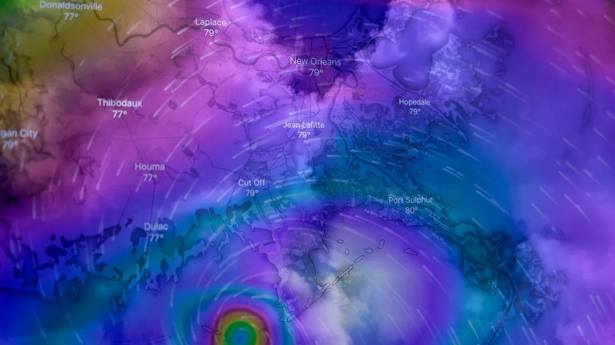
Tropical Storm Isaias Strengthens Toward Gulf Coast
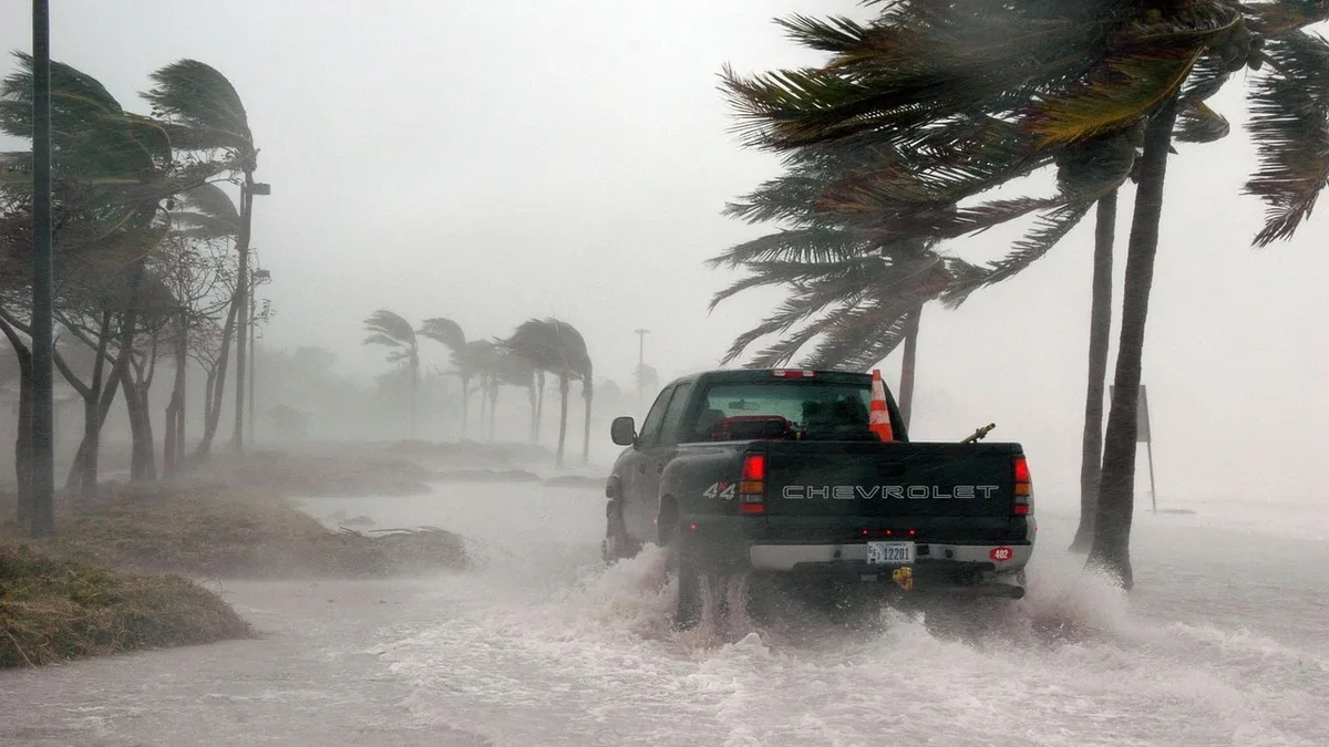
Hurricane and storm surge watches are in effect for the northern Gulf Coast as Tropical Storm Isaias, poised to become the season's first hurricane, moves toward a late Friday landfall with threats of life-threatening inundation and damaging winds.
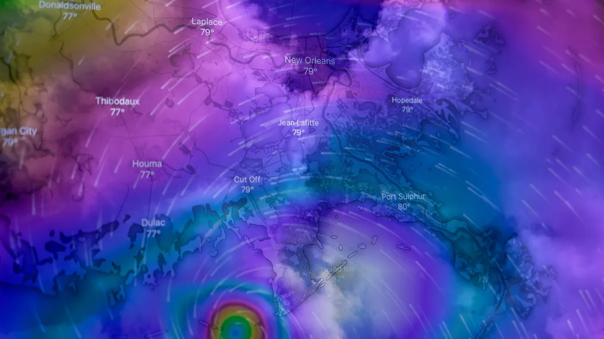
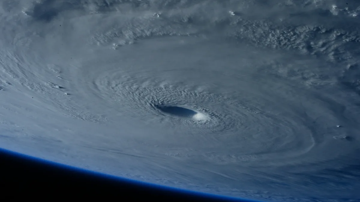
Hurricane and storm surge watches were issued for portions of the U.S. northern Gulf Coast on Wednesday morning, October 7, 2026, as Tropical Storm Isaias strengthened over the Gulf of America. The storm is moving toward the coast with hurricane conditions possible by late Friday and life-threatening storm surge forecast. Landfall is currently estimated for sometime late Friday or early Saturday between Gulfport, Mississippi, and Panama City, Florida.
A Tropical Storm Watch is in effect from the Jefferson/Plaquemines Parish line in Louisiana to west of Bay St. Louis, and from east of Indian Pass to the Aucilla River in Florida. The watches extend from the mouth of the Mississippi River eastward to Yankeetown, Florida. Hurricane conditions are possible within this area beginning late Friday, with tropical storm conditions possible around midday Friday. No hurricane or tropical storm warning was in effect for any land area as of Wednesday morning, but additional watches and warnings could be required later in the day.
Storm Surge Warnings are in effect for designated coastal and bay-adjacent portions of Mobile and Baldwin counties in Alabama, and Escambia, Santa Rosa, and Okaloosa counties in Florida. A Storm Surge Watch is in effect from the mouth of the Mississippi River to Yankeetown. The National Hurricane Center said life-threatening inundation from rising water moving inland is possible within 48 hours.
If the peak surge occurs at the time of high tide, water could reach 1.5 to 2.1 meters (5 to 7 feet) above ground from Ocean Springs, Mississippi, to Indian Pass, Florida, and within Mobile Bay. Potential surge heights decrease in other areas.
| Area | Potential Surge Height |
|---|---|
| Ocean Springs, MS to Indian Pass, FL & Mobile Bay | 1.5 to 2.1 m (5 to 7 ft) |
| Mouth of Mississippi River to Ocean Springs | 0.9 to 1.5 m (3 to 5 ft) |
| Indian Pass to Aucilla River | 0.9 to 1.5 m (3 to 5 ft) |
| Aucilla River to Yankeetown | 0.6 to 1.2 m (2 to 4 ft) |
| Lake Pontchartrain | 0.3 to 0.9 m (1 to 3 ft) |
Forecast Hazards
Damaging winds, heavy rainfall, and isolated tornadoes threaten the region. The National Weather Service in Mobile said peak winds of 120 to 155 km/h (75 to 95 mph), with gusts to 185 km/h (115 mph), are possible in the Pensacola, Florida, area. Winds of 89 to 113 km/h (55 to 70 mph) with gusts to 160 km/h (100 mph) are possible along the Baldwin County, Alabama, coast.
Heavy rain will accompany the storm. Local rainfall forecasts show significant accumulations across multiple counties.
| Area | Forecast Rainfall |
|---|---|
| Coastal Baldwin, Escambia, Santa Rosa counties (AL/FL) | 150 to 250 mm (6 to 10 in) |
| Mobile and Okaloosa counties (AL/FL) | 100 to 200 mm (4 to 8 in) |
| Mississippi coast | 50 to 150 mm (2 to 6 in) |
| Florida Big Bend | 75 to 150 mm (3 to 6 in) |
| Parts of Franklin County, FL | Up to 200 mm (8 in) |
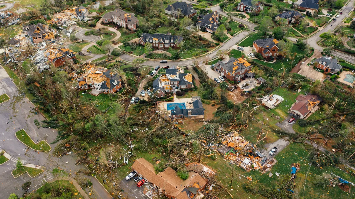
The Weather Prediction Center said tropical moisture interacting with a nearly stationary boundary will keep widespread thunderstorms over most of the Florida Peninsula and parts of the Panhandle. Heavy rainfall is expected to reach the Florida Panhandle by Friday morning. A few tornadoes are possible within portions of the watch area, with the National Weather Service in Mobile describing the tornado situation as somewhat favorable.
Storm Status and Season Context
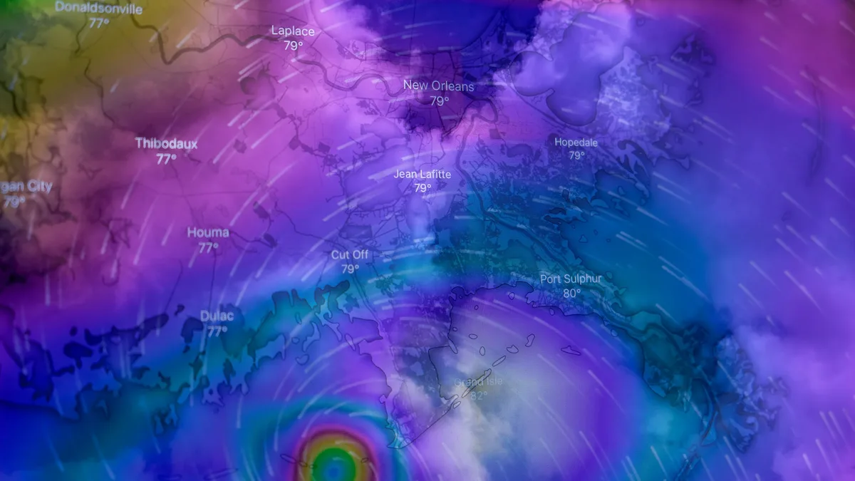
As of 15:00 UTC (10:00 a.m. CDT), the center of Isaias was located about 870 km (540 miles) south-southwest of the mouth of the Mississippi River. Maximum sustained winds were near 75 km/h (45 mph), and the storm was moving east-northeast at 13 km/h (8 mph). Isaias is the ninth tropical storm of the 2026 Atlantic season and is expected to become the season's first hurricane.
The 2026 Atlantic hurricane season has been unusually quiet so far, a pattern forecasters had predicted. The developing strong El Niño in the Pacific Ocean is responsible, as it leads to more wind shear over the Caribbean and Atlantic which can tear storms apart. Isaias formed in an area with limited wind shear and very high sea temperatures, currently 30 or 31 degrees Celsius. Forecasters expect Isaias to encounter more wind shear as it moves northwards, which should limit intensification, though exact forecasts are likely to shift.
Preparations Underway
Florida Governor Ron DeSantis has declared a state of emergency across 25 counties. Residents are urged to finalize preparations on Thursday. They should secure outdoor objects, check supplies, charge electronic devices, fuel vehicles, and finalize any evacuation or shelter plans.
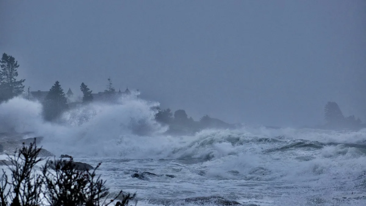
Offshore, a Hurricane Warning is in effect for offshore waters of the central Gulf of America, where hurricane conditions are expected Thursday night. Winds of 120 to 155 km/h (65 to 85 knots) and seas of 5.8 to 8.8 meters (19 to 29 feet) are forecast there. Coastal marine waters from Pensacola to Pascagoula are under a Hurricane Watch, with winds of 95 to 130 km/h (50 to 70 knots) and seas up to 10 meters (33 feet) possible. Tropical storm watches cover Lake Borgne, Barataria Bay, and Apalachee Bay, with a hurricane watch for St. Andrews Bay Waterways in Florida.
Residents should secure outdoor objects, check supplies, charge electronic devices, fuel vehicles and finalize any evacuation or shelter plans on Thursday.