Hurricane Nolo to cross Date Line
Hurricane Nolo is forecast to cross the International Date Line on October 4, 2026, with 195 km/h winds.
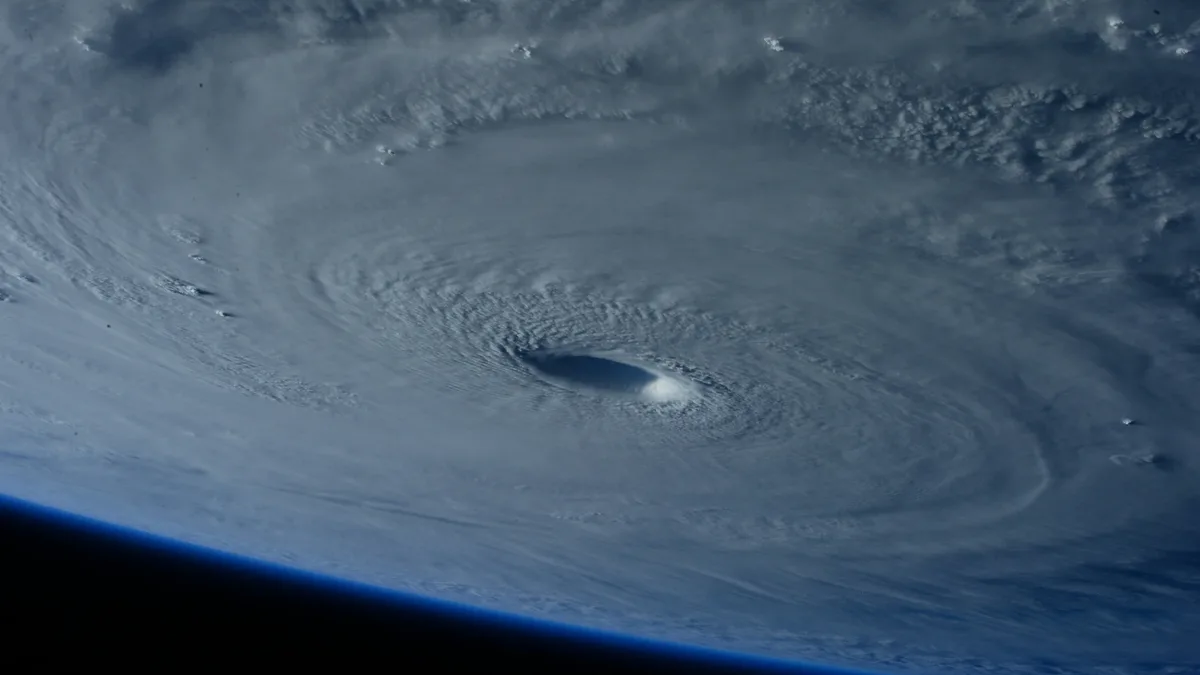
Hurricane Nolo is forecast to cross 180° longitude on October 4, 2026, and enter the western North Pacific as a typhoon. This rare hurricane-to-typhoon transition marks the 13th hurricane-strength tropical cyclone to do so since 1949. The crossing would also make Nolo the 28th system of tropical-storm strength or higher to complete the journey from the central to the western Pacific.
Historical data shows 27 completed crossings at U.S. Tropical-storm strength or higher were recorded from 1949 to 2025. Of those, 15 were at tropical-storm strength and 12 were at hurricane strength. The list of hurricane-strength crossovers includes Della (1957), Patsy (1959), Peke (1987), Uleki (1988), Keoni (1993), John (1994), Ele and Huko (2002), Ioke (2006), Genevieve (2014), Kilo (2015), and Dora (2023).
Current Intensity and Structure
At 23:00 HST on October 3 (09:00 UTC on October 4), Nolo was located 390 km southwest of Lisianski Island with maximum sustained winds of 175 km/h. The storm's inner core was undergoing an eyewall replacement cycle, a process where the small, original eye decays as a broader ring of intense convection forms. Microwave imagery at 05:49 UTC on October 4 confirmed this structural change, showing the outer eyewall consolidating after the inner eyewall was no longer visible.
Nolo was moving over very warm sea-surface temperatures of 28-29°C with light vertical wind shear near 9 km/h. Forecasters noted the potential for renewed strengthening if the eyewall replacement cycle completed cleanly. Hurricane-force winds are defined as at least 119 km/h in the central North Pacific, with the same threshold applying for typhoon status in the western basin.
Forecast Path and Strength
The National Hurricane Center forecast placed Nolo near 24.0°N, 179.2°W at 18:00 UTC on October 4 with winds of 195 km/h. It was projected to be west of 180° longitude near 24.8°N, 177.6°E by 06:00 UTC on October 5 with increased intensity. Nolo is expected to peak at 215 km/h at 18:00 UTC on October 5.
Substantial weakening is forecast between October 6 and 7. This expected decline is attributed to increased northeasterly wind shear and dry mid-level air being drawn into the storm's core. The disruptive upper-level pattern is associated with the recurving Typhoon Choi-Wan.
Impact and Warnings
As of 09:00 UTC on October 4, no coastal watches or warnings were in effect. However, the storm was generating dangerous marine conditions. Large swells from Nolo were affecting the Papahānaumokuākea Marine National Monument and were expected to inundate low-lying atolls from Maro Reef to Lisianski Island over the following days.
The National Hurricane Center stated, "Hurricane-force winds extended as far as 55 km from the center, while tropical-storm-force winds extended up to 240 km." The storm's final stages in the western Pacific will be monitored by the Japan Meteorological Agency. The system's expected weakening between October 6 and 7 is due to the combined effects of northeasterly wind shear and dry mid-level air.