Hurricane Polo Hits Category 5 Strength Off Mexico
Hurricane Polo intensified to a Category 5 storm with 165 mph winds on September 22, 2026, threatening southwestern Mexico with life-threatening flooding

Hurricane Polo became a Category 5 hurricane on September 22, 2026. The storm's maximum sustained winds reached 270 km/h (165 mph) as it drifted toward the coast of southwestern Mexico, according to the US National Hurricane Center (NHC).
A Tropical Storm Warning was in effect for parts of the coast from Tecpan de Galeana to Punta San Telmo. Officials warned that heavy rainfall through September 24 could trigger dangerous flooding and mudslides in the states of Guerrero and Michoacán.
Storm Track and Intensity
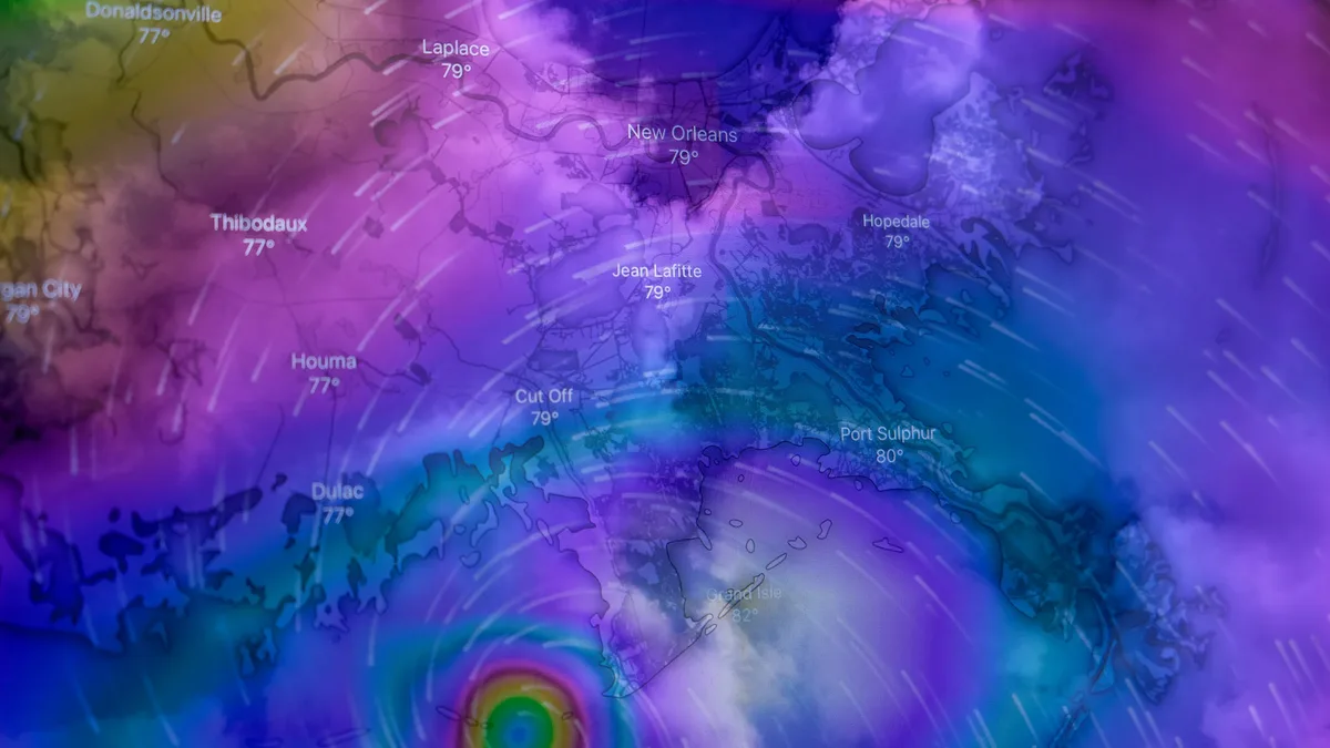
At 15:00 UTC on September 22, Polo's center was located about 335 km south of Zihuatanejo. The hurricane was moving north at just 4 km/h. Forecasters expected it to turn toward the northwest, with its core moving roughly parallel to the coast while remaining offshore.
The NHC noted uncertainty about how close the center would approach. This uncertainty affected predictions for wind, rain, and surf impacts. The hurricane was described as relatively small and symmetrical with a well-defined eye.
Polo underwent rapid intensification. The table below shows its wind speed progression.
| Date & Time (UTC) | Maximum Sustained Winds | Storm Classification |
|---|---|---|
| Sep 21, 03:00 | 65 km/h (40 mph) | Tropical Storm |
| Sep 21, 15:00 | 100 km/h (65 mph) | Tropical Storm |
| Sep 21, 18:00 | 130 km/h (80 mph) | Hurricane (Category 1) |
| Sep 22, 03:00 | 175 km/h (110 mph) | Hurricane (Category 2) |
| Sep 22, 06:00 | 215 km/h (130 mph) | Hurricane (Category 4) |
| Sep 22, 09:00 | 240 km/h (150 mph) | Hurricane (Category 4) |
| Sep 22, 12:00 | 260 km/h (160 mph) | Hurricane (Category 5) |
| Sep 22, 15:00 | 270 km/h (165 mph) | Hurricane (Category 5) |
Favorable conditions fueled this explosive growth. The NHC cited light wind shear, ample moisture, and very warm sea surface temperatures near 31°C. An Argo float indicated a deep layer of warm water, which limited cooling from ocean upwelling.
Forecast Hazards and Rainfall
The primary threat from Polo is torrential rain. The NHC forecast significant accumulations through September 24. Life-threatening flooding and mudslides are expected, especially in areas of steep terrain.
| Region | Forecast Rainfall | Isolated Maximums |
|---|---|---|
| Coastal Guerrero & Michoacán | 75-150 mm (3-6 inches) | Near 200 mm (8 inches) |
| Coastal Oaxaca, Colima & Jalisco | 50-100 mm (2-4 inches) | Not specified |
Swells generated by the hurricane were also expected to affect the coast. These swells will create life-threatening surf and rip current conditions in the coming days.
Preparations and Response
Authorities in Michoacán took action ahead of the storm. The state suspended classes on September 22 and 23 in seven municipalities, including Lázaro Cárdenas and Coalcomán. The closure applied to all public and private schools.
The state's Education Secretariat said the decision followed instructions from the State Civil Protection Coordination. State officials reported that 19 shelters were prepared for activation if evacuations became necessary. Response teams were monitoring roads, rivers, and communities.
A Tropical Storm Watch remained in effect from west of Punta San Telmo to Playa Perula. The NHC said additional watches or warnings could be required. A NOAA Hurricane Hunter aircraft was en route to investigate the storm further as of the 15:00 UTC advisory. Polo is the second storm of the 2026 Eastern Pacific hurricane season to reach Category 5 strength.