Hurricane Isaias Strengthens, Threatens Gulf Coast with Surge
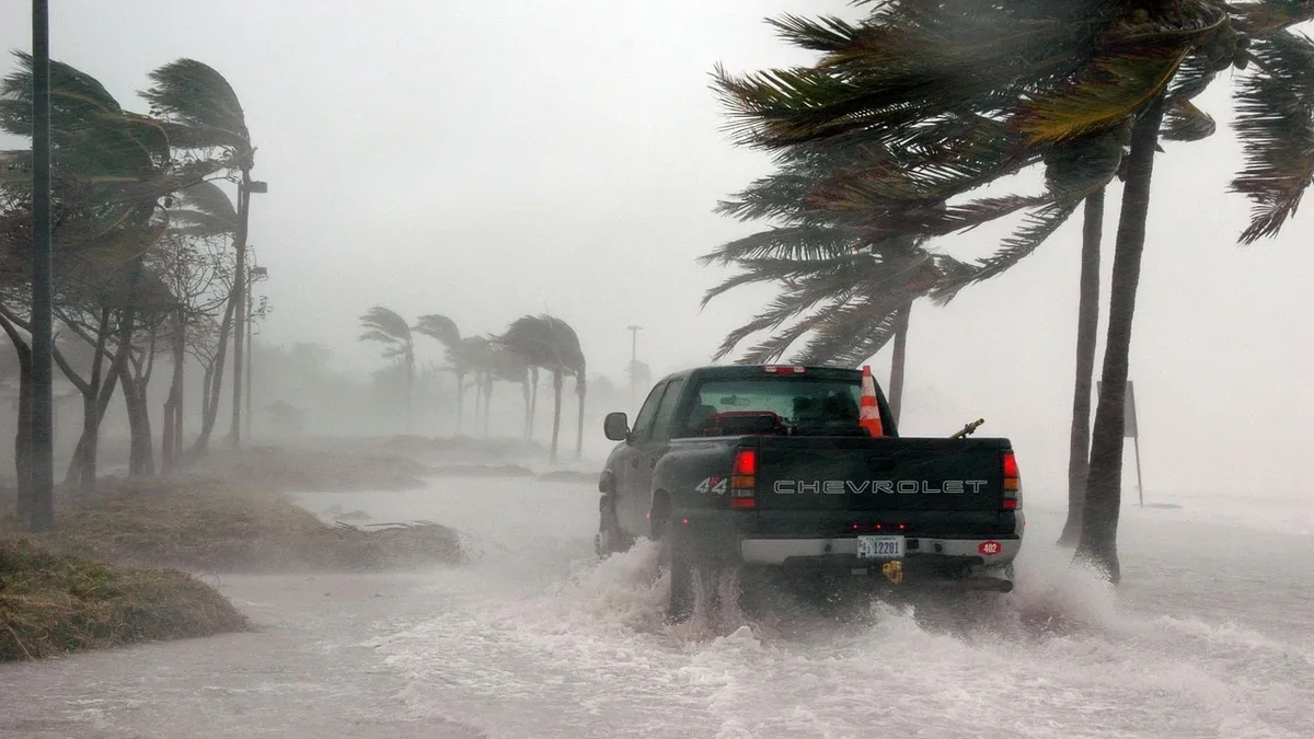
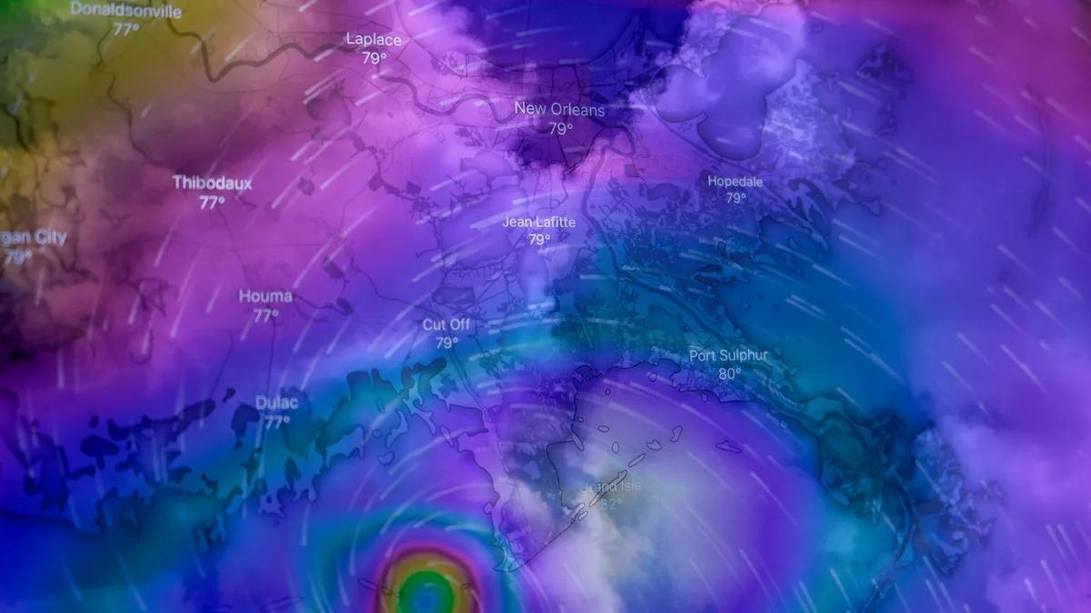
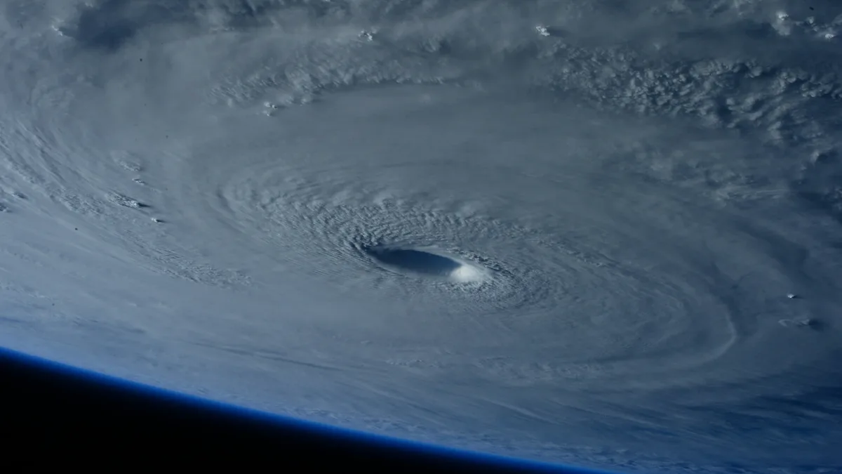
Hurricane Isaias, with 85 mph winds, is forecast to make landfall along the northern U.S. Gulf Coast late Friday or early Saturday, bringing life-threatening storm surge and heavy rain.
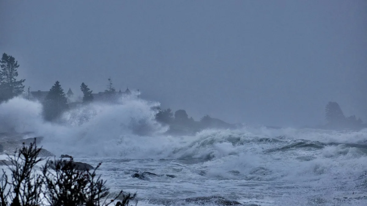
Hurricane Isaias is strengthening in the Gulf of Mexico with maximum sustained winds of 85 mph. The storm is expected to make landfall along the U.S. northern Gulf Coast late Friday or early Saturday, bringing life-threatening storm surge, damaging winds, and heavy rainfall. A hurricane warning is active from Ocean Springs, Mississippi, to the Bay/Gulf County Line in Florida. A storm surge warning covers the coast from the mouth of the Mississippi River to the Steinhatchee River in Florida.
Storm surge could reach up to 7 feet above ground in some areas while hurricane-force winds extend 15 miles from the storm’s center. Forecasters warn of varying surge heights along the coast.
| Area | Storm Surge Forecast (feet above ground) |
|---|---|
| Mouth of the Mississippi River, LA to Ocean Springs, MS | 3-5 |
| Steinhatchee River, FL to Suwannee River, FL | 3-5 |
| Ocean Springs, MS to Indian Pass, FL and Mobile Bay | 5-7 |
| Indian Pass, FL to Steinhatchee River, FL | 4-6 |
| Suwannee River, FL to Yankeetown, FL | 2-4 |
Tropical-storm-force winds extend outward up to 90 miles. A tropical storm warning is also in effect for areas west of the hurricane warning zone and for parts of the Florida Big Bend region.
Rainfall and flooding risks
Widespread rainfall of 3 to 7 inches is expected across the central Gulf Coast, with localized totals up to 15 inches possible in the Florida Panhandle and Big Bend. The system is forecast to bring this heavy rain from far southeastern Louisiana to the Florida Big Bend region from Friday through the weekend. Surrounding areas across the Southeast and Tennessee Valley could see 1 to 3 inches of rain. The precise timing and location of potential flash flooding or river flooding will depend on localized rainfall totals over the weekend.
Tornado potential and storm movement
Isolated tornadoes are possible Friday night in coastal Alabama and the Florida Panhandle. The threat extends into Saturday across eastern Alabama, Georgia and northern Florida. Outer feeder bands have the potential for tornadoes. Many of these bands will also produce heavy rain.
Storm track and intensity
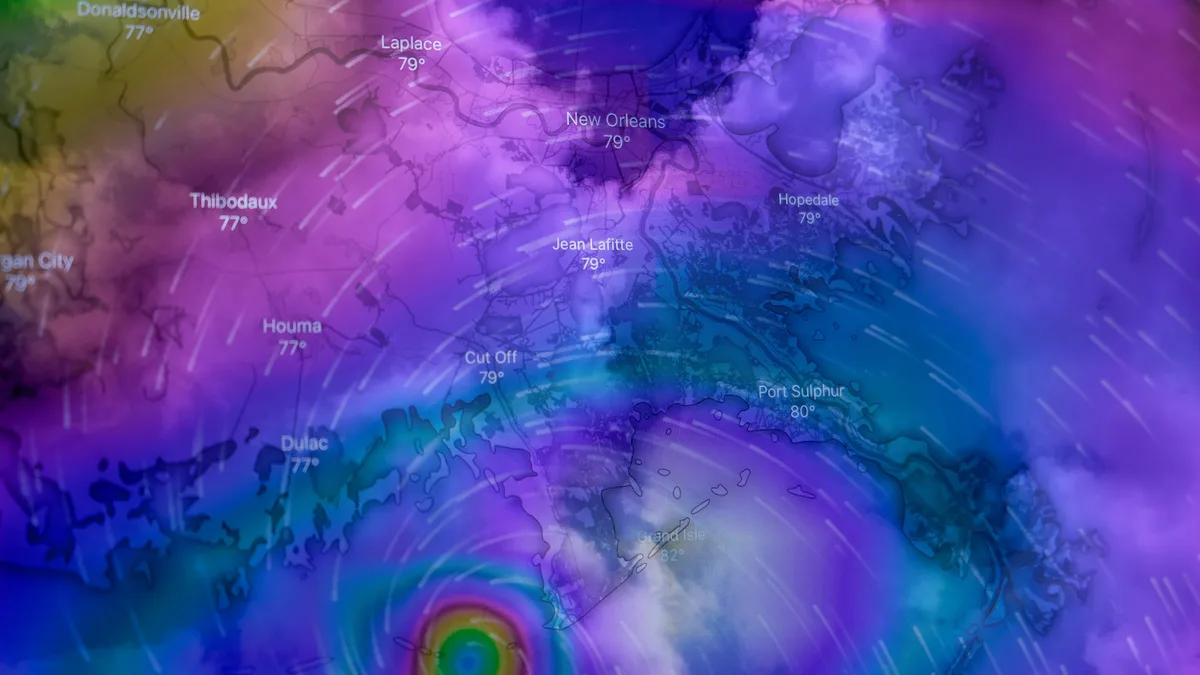
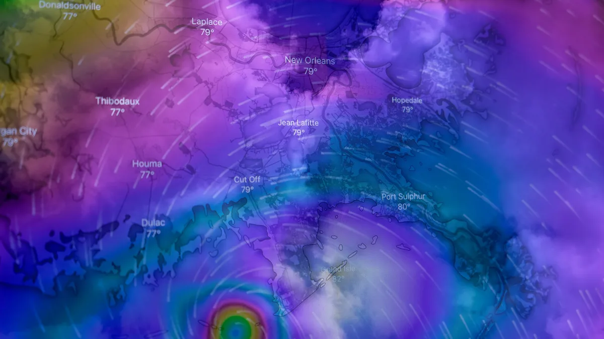
Hurricane Isaias is moving east-northeast at 9 mph. As of early Thursday, the storm was located about 355 miles south of the mouth of the Mississippi River. Additional strengthening is expected through early Friday. As it moves closer toward the Northern Gulf Coast, it will start to be torn apart by very strong wind shear. It will still be very strong as it reaches the coast. Drier air will help to trigger severe weather as Isaias makes landfall and starts to change its structure. A turn toward the northeast is expected later Thursday, followed by a turn northward on Friday.
Advisory timing and source
Forecasters continue to monitor the storm’s evolution. The information was gathered from official public advisories and forecast updates issued by the National Hurricane Center. Forecaster Pasch said, "Next complete advisory at 400 PM CDT." The storm is expected to approach the northern Gulf Coast on Friday night.