Hurricane Polo Threatens Baja California Sur With Dual
Hurricane Polo, a Category 3 storm, is approaching Baja California Sur with hurricane and tropical storm warnings in effect for both coasts, prompting
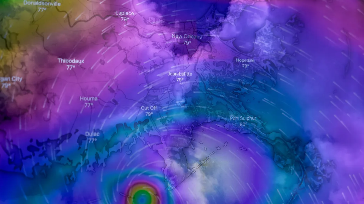
Hurricane Polo is moving north-northwest toward Baja California Sur with hurricane and tropical storm warnings in effect for both coasts of the peninsula. The Category 3 storm had maximum sustained winds of 195 km/h (120 mph) and a minimum central pressure of 952 hPa as of 02:00 MST on September 27, 2026. It was centered approximately 480 km southwest of Cabo San Lucas and moving at 17 km/h.
The National Hurricane Center (NHC) maintained Polo's intensity at Category 3, noting it had weakened from earlier Category 5 strength. Satellite observations showed indications of an eye. Hurricane-force winds extended up to 75 km from the center, with tropical-storm-force winds reaching 205 km out.
Forecasters expect Polo to turn northward later on September 27 and northeastward on Monday. It is expected to cross the peninsula Monday night and approach northwestern mainland Mexico early Tuesday. The NHC forecast gradual weakening before Polo reaches the peninsula. Increasing wind shear and interaction with land should cause rapid weakening after landfall. Polo is not expected to strengthen again over the Gulf of California. Uncertainty remains over Polo's forward speed after it turns northeastward, with forecast models showing greater-than-usual differences in its movement after crossing Baja California Sur.
Warnings and expected impacts
Hurricane and tropical storm warnings are active for western and eastern coasts of Baja California Sur. Hurricane conditions are expected by Monday afternoon, with tropical-storm conditions beginning Sunday night.
Residents elsewhere in Baja California Sur, Sonora, and northern Sinaloa were advised to monitor Polo's progress. Tropical-storm conditions could begin in the southern warning area Sunday night or early Monday and are expected to spread northward and then eastward. Hurricane conditions are possible within the mainland Hurricane Watch area on Tuesday. The NHC warned that LA and Ventura counties could see four to seven-foot surf. Areas of particular concern include the Long Beach Peninsula, where coastal communities saw damaged seawalls from Hurricane Marie.
The National Hurricane Center said: "Hurricane warnings covered portions of both coasts of Baja California Sur on September 27, 2026, as Major Hurricane Polo moved north-northwest toward the peninsula."
Rainfall and flooding threat
Polo is forecast to produce significant rainfall across Baja California Sur, beginning Sunday night and continuing into Tuesday. Forecast totals are 100-200 mm (4-8 inches) across portions of the state, with isolated maxima near 250 mm (10 inches).
Preparedness and response
Emergency agencies have activated response protocols. The National Water Commission (Conagua) is monitoring hydrological risks, and officials urge residents to complete preparations before conditions deteriorate. Conagua placed hydrological monitoring at its highest level, tracking rivers, streams, and reservoir levels in Baja California Sur, Baja California, Sonora, and Sinaloa.
Federal emergency agencies activated protocols to deploy personnel and equipment immediately where needed, with protecting lives as the top priority. Specialized crews prepared water-pumping and drainage equipment at regional centers in Baja California Sur, Sinaloa, and Sonora. Personnel and machinery could be brought in from other states if required. A National Civil Protection Liaison and Coordination Mission is traveling to Baja California Sur to coordinate prevention, preparedness, and emergency assistance.
Fabián Vázquez Romaña, director of the National Meteorological Service, stated the storm could make landfall twice. It is expected to first reach Baja California Sur, likely after weakening to a Category 1 or 2 hurricane, and could reach the coast of Sonora on Tuesday as a tropical storm. Daniel Arriaga Fuentes, deputy manager of operational hydrology at Conagua, stressed the importance of preventive measures ahead of torrential rainfall. Baja California Sur’s State Civil Protection Council extended the suspension of classes across all five municipalities through Tuesday, September 29.
The National Hurricane Center urged residents in warning areas to complete preparations before tropical-storm-force winds made outside work difficult or dangerous. NHC forecast gradual weakening before Polo reached the peninsula.