Hurricane Polo Hits Category 5, Threatens Mexico With Floods
Hurricane Polo intensified to Category 5 strength on September 24, 2026, as its outer rainbands brought heavy, life-threatening rainfall and flooding risks
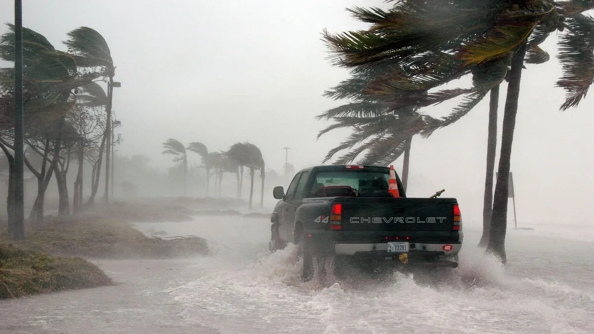
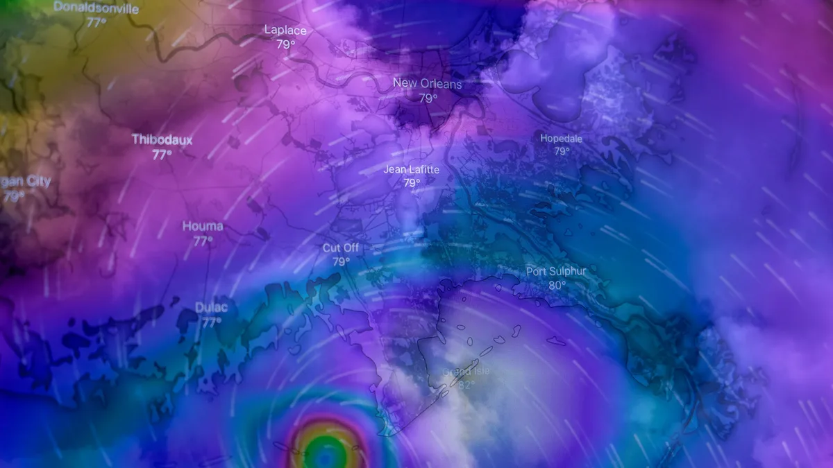
Hurricane Polo reached Category 5 strength with 285 km/h (180 mph) winds while its outer bands brought heavy rain to southwestern Mexico on September 24, 2026, prompting tropical storm warnings and watches. The storm's core remained offshore, centered approximately 240 km west-southwest of Zihuatanejo, but it posed a severe risk of flooding, mudslides, and dangerous coastal conditions.
A Tropical Storm Warning was in effect from Tecpan de Galeana to Manzanillo. Mexico extended this warning westward overnight from Punta San Telmo to Manzanillo. A separate Tropical Storm Watch extended from west of Manzanillo to Playa Pérula. The National Hurricane Center (NHC) forecast significant rainfall across the region.
| Region | Forecast Rainfall |
|---|---|
| Coastal Guerrero | 100-150 mm (4-6 inches), isolated totals to 200 mm (8 inches) |
| Coastal Michoacán, Colima, and Jalisco | 50-100 mm (2-4 inches) |
This rainfall could cause life-threatening flooding and mudslides, especially in steep terrain. Swells generated by Polo were also forecast to affect southwestern Mexico's coast for two days, spreading northward and toward Baja California Sur by the weekend. These swells were likely to cause life-threatening surf, rip currents, and coastal flooding.
Intensity Fluctuations and Structure
Hurricane Polo first reached Category 5 status at 06:00 CST on September 22, with winds of 260 km/h (160 mph). It underwent rapid intensification, with wind estimates peaking at 285 km/h (180 mph) later that day. The storm weakened to Category 4 on September 23 but returned to Category 5 strength by late that evening, with winds again estimated at 260 km/h. In a subsequent discussion, the NHC described a clearer, warmer eye surrounded by deep convection, indicating Polo had completed an eyewall replacement cycle. It is not yet clear if Hurricane Polo will beat Hurricane Patricia for the strongest storm in the eastern Pacific basin.
Forecast Evolution and Future Track
Polo's core was expected to remain offshore of southwestern Mexico on September 24 before moving farther out to sea. A building ridge of high pressure over northern Mexico and the south-central United States was expected to steer the storm on a west-northwest then northwestward track. Increasing vertical wind shear was forecast to cause gradual weakening during the weekend and early the following week. At longer range, the NHC expects troughing over the eastern Pacific to bend the storm more northwestward toward the Baja California Peninsula, with a potential approach as a hurricane early in the week beginning September 28. Confidence in the path is limited due to potential interaction with Tropical Storm Odalys, and uncertainty is high beyond 72 hours.
Preparedness Urged for Baja California
Despite the forecast offshore trajectory, a track only slightly closer to the coast would raise wind, surf, and rain risks along a much longer stretch of shoreline. The NHC cone shows where the center is likely to track, not the size of the storm or where impacts will stop. Residents and visitors in Colima, Jalisco, and southern Baja California Sur were urged to monitor updates. Forecasters have also flagged the possibility that moisture from Polo could reach northwest Mexico and the U.S. Southwest later in its life. The NHC advised people in the peninsula to monitor forecast updates and ensure their preparedness plans were in place.