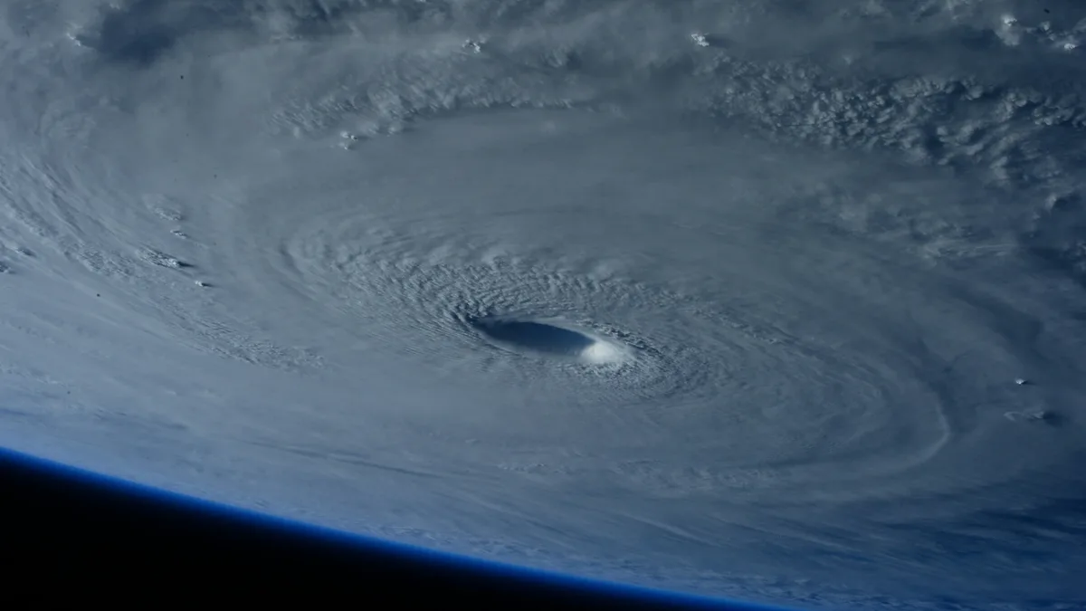
Tropical Depression Nine Forecast to Become Hurricane Isaias
Tropical Depression Nine has formed in the Gulf of Mexico and is forecast to strengthen into Hurricane Isaias.
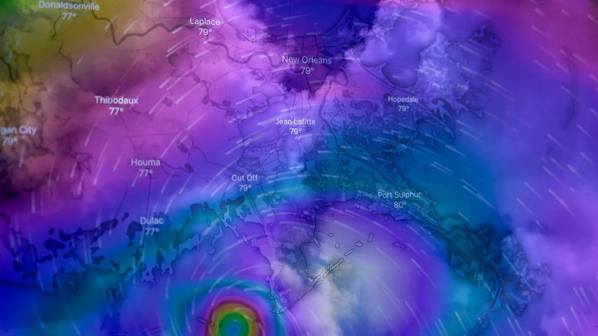
Tropical Depression Nine is slowly moving east in the western Gulf of Mexico with 35 mph winds. The system is forecast to become Tropical Storm Isaias by Wednesday and strengthen into a hurricane threatening the U.S. Gulf Coast with landfall by the weekend.
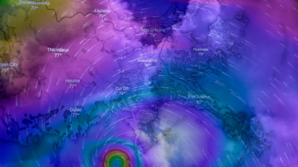
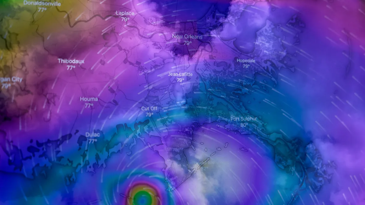
The depression formed in the Bay of Campeche on Tuesday afternoon. It is currently located about 345 miles west of Progreso, Mexico, and about 605 miles southwest of the mouth of the Mississippi River. With maximum sustained winds of 35 mph and gusts up to 45 mph, it is moving east at just 5 mph. The system will start to accelerate eastward toward the Yucatan Peninsula over the next 24 hours. NOAA and Air Force aircraft are scheduled to collect important data on the system today and tomorrow.
Projected intensification and track
The National Hurricane Center forecasts the system will become a hurricane by Thursday. Peak intensity is potentially reached by Friday, with maximum sustained winds of 100 mph, which would designate it as a Category 2 hurricane. The forecast track expects the depression to pass north of the Yucatan Peninsula on Thursday before approaching the U.S. northern Gulf Coast on Friday.
Isaias is forecast to make landfall somewhere between New Orleans and Pensacola late Friday night. The system is then expected to quickly turn north into the central Gulf. October typically favors storms moving towards the eastern Gulf rather than the western Gulf.
Hazards and impacts
Life-threatening surf, rip currents, gusty winds, and torrential rainfall pose significant risks. Swells are expected to affect western and northern portions of the Yucatan Peninsula beginning Thursday, spreading northward toward the Gulf Coast late this week. These swells are likely to cause life-threatening surf and rip current conditions.
Heavy rain will arrive late Saturday night and last through Monday evening. The rainfall forecast for the central U.S. Gulf Coast from Friday through the weekend is 3 to 6 inches, with localized totals up to 10 inches possible from southeastern Louisiana to the Florida Panhandle. This raises the hazard of flash and urban flooding, along with isolated river flooding. A few isolated flash flooding events are possible. People from the Florida Panhandle to Louisiana should closely monitor the forecast.
For Mexico, coastal portions of the Bay of Campeche can expect 2 to 4 inches of rain through Thursday, with isolated higher amounts possible in the states of Campeche and western Yucatan. Gusty winds are also possible in portions of the Yucatan Peninsula on Thursday. Southeast Texas would see minimal impacts, if any, with no direct impacts expected at this time.
Post-landfall evolution
After landfall, the system will move northward towards Memphis before turning northeastward towards Cleveland. It is expected to lose its tropical characteristics over the weekend, becoming a post-tropical cyclone by Sunday morning. The humidity accompanying the rain will exit by Wednesday of next week. No coastal watches or warnings are currently in effect, but interests in the Yucatan Peninsula of Mexico and the U.S. northern Gulf Coast should monitor the system.
The next complete advisory will be issued at 400 AM CDT.