Tropical Storm Polo Intensifies Toward Major Hurricane
Tropical Storm Polo is rapidly strengthening off Mexico's southwest coast, with forecasts predicting it will become a major hurricane by Tuesday, bringing
Tropical Storm Polo had maximum sustained winds of 100 km/h (65 mph) as of 09:00 CST on September 21, 2026, according to the U.S. National Hurricane Center (NHC). The storm is forecast to become a major hurricane while moving near the coast of southwestern Mexico, where a Tropical Storm Watch is already in effect.
Polo was located about 410 km south-southeast of Manzanillo and 320 km southwest of Zihuatanejo. Its central pressure was 997 hPa, and it was moving slowly eastward at 7 km/h. The storm intensified significantly over a six-hour period leading up to that advisory.
Rapid Intensification Underway
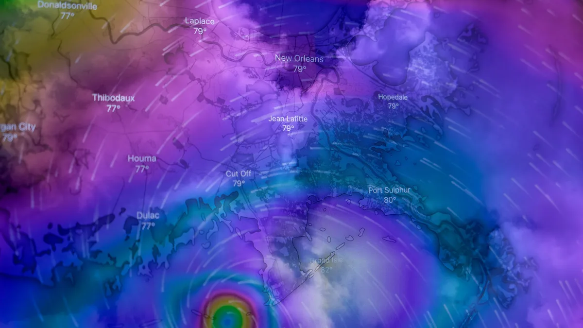
Satellite imagery revealed a developing central dense overcast with deep convection around the storm's core. Microwave data even detected a small eye forming beneath the clouds. The NHC attributed the rapid strengthening to very warm ocean waters above 30.5°C, light wind shear, and abundant moisture. A NOAA Hurricane Hunter aircraft was dispatched to gather direct measurements from the storm.
The agency's forecast guidance consistently supported continued rapid intensification, leading to a substantially raised official forecast. The NHC provided a detailed timeline for Polo's expected wind speeds.
| Forecast Time (CST) | Date | Sustained Wind Speed |
|---|---|---|
| 18:00 | September 21 | 155 km/h (100 mph) |
| 06:00 | September 22 | 195 km/h (120 mph) |
| Evening | September 22 | 230 km/h (145 mph) |
| Morning | September 23 | 250 km/h (155 mph) |
| 18:00 | September 23 | 260 km/h (160 mph) |
Polo is predicted to maintain peak intensity near 260 km/h through Thursday morning before gradual weakening begins. It is expected to remain a major hurricane through the end of the current five-day forecast period.
Track Forecast and Coastal Threats
The storm's movement remained slow within weak steering currents on Monday. The NHC expects a slow eastward or southeastward drift through Monday night. After that, a developing weather system over Mexico is forecast to turn Polo sharply toward the west-northwest or northwest.
This projected track brings the hurricane near or south of the southwestern Mexican coast for several days. The NHC classified the track forecast as low confidence due to a large spread among computer models. The official forecast track was adjusted slightly southward in the latest advisory. The agency currently keeps the forecast core of the hurricane offshore, but the exact distance from the coast remains uncertain.
A Tropical Storm Watch is in effect for the Mexican coast from Tecpan de Galeana to Punta San Telmo. The NHC stated that tropical-storm conditions are possible in this area by Tuesday night or early Wednesday, and the watch may be extended westward. Tropical-storm-force winds already extended up to 110 km from Polo's center.
Rainfall and Flooding Risks
Heavy rainfall is a primary concern, with impacts expected well beyond the storm's compact wind core. The NHC forecasts significant accumulations through Thursday, which may produce life-threatening flooding and mudslides, especially in areas of steep terrain.
| Region | Forecast Rainfall | Isolated Maximums |
|---|---|---|
| Coastal Guerrero & Michoacán | 100-200 mm (4-8 inches) | Up to 300 mm (12 inches) |
| Coastal Oaxaca, Colima & Jalisco | 75-150 mm (3-6 inches) | Not specified |
Swells generated by Polo are also expected to reach parts of the southwestern Mexican coast by Tuesday. The NHC warned these swells will create dangerous surf and rip-current conditions.
The agency cautioned that it remains too early to determine the exact location or magnitude of coastal impacts. The eventual threat to communities will depend heavily on Polo's final track relative to the mountainous coastline.