Atmospheric River Season
Origin and history
The term "atmospheric river" originates from meteorological science, with the concept being formally developed and named in the late 20th century. The underlying phenomenon of long, narrow corridors of concentrated moisture transport has been a recognized feature of global weather systems for many decades. Research into these structures intensified in the 1990s as satellite data improved the ability to track water vapor. The concept of a distinct "season" for these events is applied primarily to the west coast of North America, particularly the United States and Canada. This seasonal pattern is tied to the winter months when storm systems are most frequently guided by prevailing winds across the Pacific Ocean. The historical record, including tree-ring data and sediment layers, indicates that these phenomena have occurred naturally for millennia, though scientific understanding and terminology are modern.
What it is for
Atmospheric rivers serve a critical function in the global hydrological cycle by transporting water vapor from the tropics and subtropics towards the poles. They are responsible for a significant portion of the world's horizontal transport of moisture outside of the tropics. For many regions, particularly along the west coasts of continents, atmospheric rivers are the primary delivery mechanism for seasonal rainfall and snowfall. This precipitation is essential for replenishing freshwater supplies, including reservoirs, groundwater, and mountain snowpack. In ecosystems, these events drive river flows, support vegetation, and maintain wetland habitats. Without atmospheric rivers, many mid-latitude regions would experience significantly drier climates and reduced water resources.
Overview
An atmospheric river is a long, narrow, and transient corridor of concentrated moisture in the atmosphere, often thousands of kilometers long but only a few hundred wide. These features are characterized by strong low-level winds that transport vast quantities of water vapor from warm ocean areas to landmasses. When an atmospheric river makes landfall and is forced upward by mountains or weather fronts, it releases this moisture as intense precipitation, either as rain or snow. The scale of water vapor flux is immense, often carrying an amount of water vapor roughly equivalent to the average flow at the mouth of the Mississippi River. The term "season" refers to the period, typically from late fall through early spring, when the synoptic-scale weather patterns are most conducive to generating and directing these features toward particular coastlines. The impacts are most pronounced on the west coasts of North America and South America, as well as in parts of Western Europe and New Zealand.
What to know
Atmospheric rivers are categorized on a scale from AR1 (primarily beneficial) to AR5 (primarily hazardous) based on the expected duration and intensity of water vapor transport. The most extreme events can produce catastrophic rainfall totals, leading to widespread flooding, debris flows, and landslides in mountainous terrain. These systems are also a primary driver of extreme snowfall events in high-elevation regions, which can cause avalanches and infrastructure paralysis. While crucial for water supply, the precipitation is often concentrated in a few large events rather than evenly distributed, posing challenges for water management. Coastal areas experience not only heavy rain but also powerful, damaging winds associated with the storm systems carrying the atmospheric river. Understanding forecast terminology, such as "Pineapple Express" for a specific pattern originating near Hawaii, and paying attention to official warnings for flooding and high winds is essential for preparedness.
Common questions
What is the difference between an atmospheric river and a regular storm? An atmospheric river is a specific feature within a larger storm system that provides the fuel for heavy precipitation; not every storm contains one, and not every atmospheric river results in catastrophic damage. How are atmospheric rivers detected? Meteorologists use satellite-based water vapor imagery, airborne moisture sensors, and ground-based radar to identify and quantify these features. Does climate change affect atmospheric rivers? A widely-established scientific consensus holds that a warmer atmosphere can hold more moisture, likely increasing the intensity of precipitation from atmospheric rivers, though the total number of events may not change significantly. Can atmospheric rivers be stopped or diverted? There is no technological intervention to prevent or redirect these large-scale natural weather phenomena; mitigation relies on forecasting, infrastructure, and land-use planning. Why do some atmospheric rivers cause rain while others cause snow? The determining factor is the altitude of the freezing level during the event, which is influenced by the temperature of the air mass. Are atmospheric rivers only a North American problem? While prominently studied there, similar phenomena impact western South America (Chile), the Iberian Peninsula, and New Zealand, among other regions.
Pros and cons
The primary benefit of atmospheric rivers is their role as a dominant source of annual precipitation for key watersheds, directly replenishing reservoirs and building snowpack that provides water through dry summers. Conversely, the most significant drawback is their potential to cause extreme, rapid-onset hydrologic events, including major floods that overwhelm drainage systems, river levees, and hillside stability. A common mistake for residents in affected regions is to underestimate the cumulative impact of multiple, weaker atmospheric river events in quick succession, which can saturate soils and set the stage for a catastrophic failure during the next storm. Those who often regret the onset of the season are individuals living in floodplains, wildfire burn scars, or landslide-prone areas, where the risks are acutely magnified. The concentrated nature of the precipitation delivery is a double-edged sword, providing necessary water but doing so in a manner that infrastructure designed for more average conditions cannot safely manage. Furthermore, a warming climate is increasing the proportion of precipitation falling as rain rather than snow at mid-elevations, reducing seasonal snowpack storage and increasing immediate flood risk.
Who it suits
This term and its associated seasonal pattern suit meteorologists, climatologists, and hydrologists who study the transport of moisture and its impacts on water resources and hazards. It is essential knowledge for emergency managers, urban planners, and water resource agencies in regions like California, British Columbia, and Chile, who must plan for both water supply and flood control. Residents and property owners in the coastal and mountainous areas of the aforementioned regions require an understanding of atmospheric rivers for personal preparedness and risk assessment. Agricultural interests in these climates are deeply affected, as the season determines water availability for irrigation and can cause crop damage from flooding. The concept does not suit areas with uniformly distributed rainfall or those where precipitation primarily comes from convective thunderstorms, as the distinct phenomenon of a concentrated, long-distance moisture plume is not a dominant feature there.
Latest Atmospheric River Season news
Latest reporting
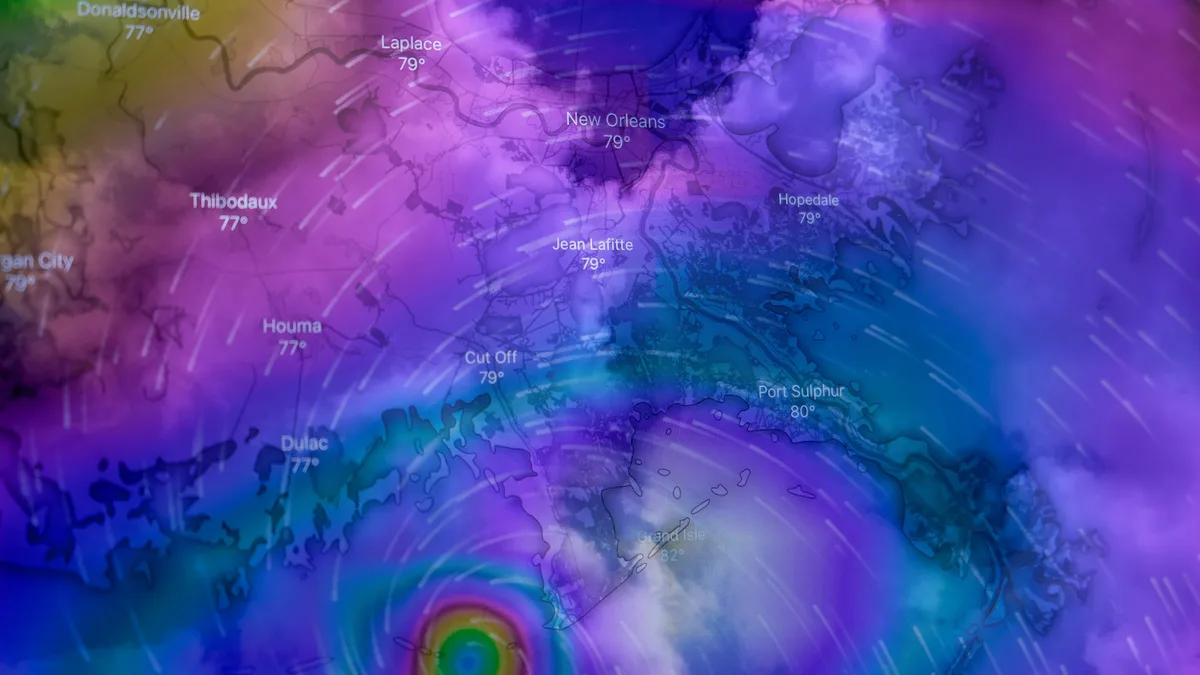
Tropical Storm Isaias Strengthens Toward Gulf Coast
Hurricane and storm surge watches are in effect for the northern Gulf Coast as Tropical Storm Isaias, poised to become the season's first hurricane...
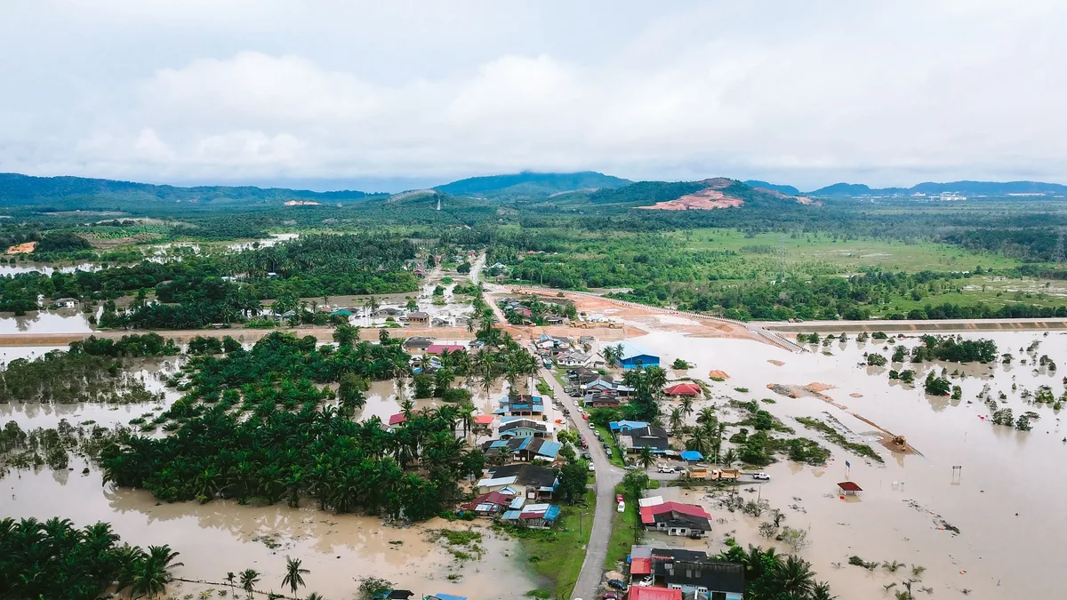
Kerala flash flood and landslides kill 10
Flash flooding and landslides in Kerala, India, on September 20, 2026, killed at least 10 people. The death toll includes six victims from a river...
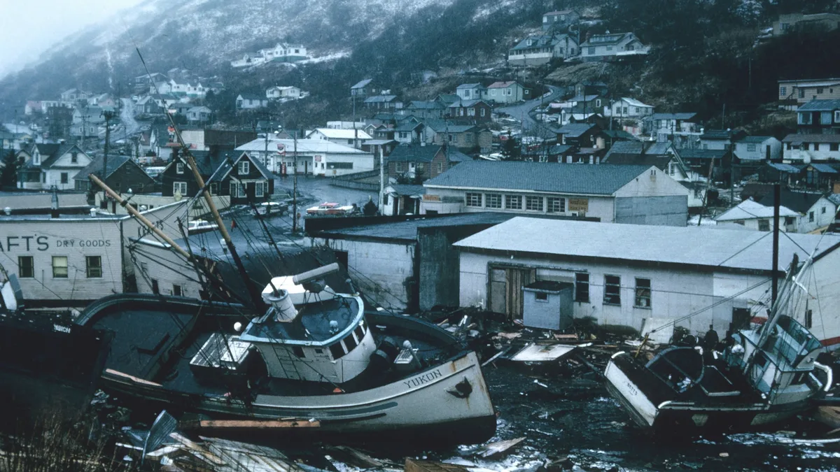
Atlantic Hurricane Season Quietest Since 1941
The 2026 Atlantic hurricane season is the most tranquil since 1941, with only five short-lived tropical storms and no hurricanes so far.
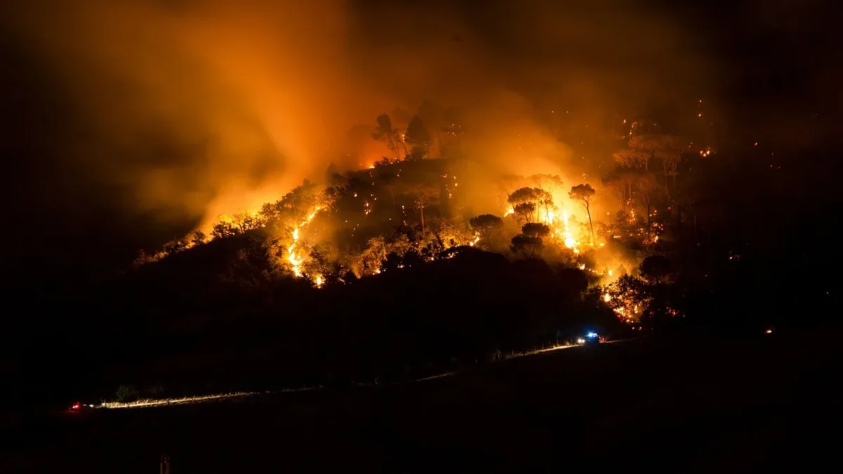
NOAA Leverages Advanced Technologies to Manage Ocean Resources
The National Oceanic and Atmospheric Administration (NOAA) is utilizing cutting-edge technologies to collect and analyze data on ocean resources and...