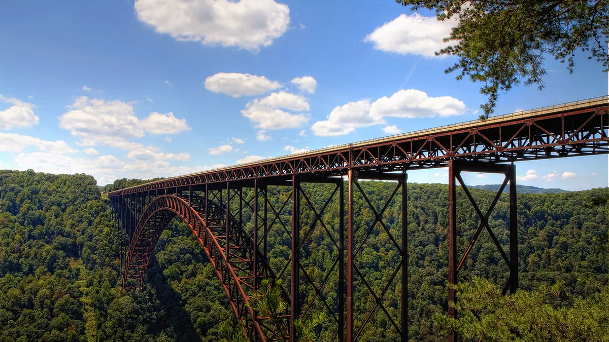
Appalachia And Inland Flooding
| Geographic scope | Central and Southern Appalachian region of the eastern United States |
|---|---|
| Primary cause | Intense, prolonged rainfall from storm systems |
| Typical event type | Flash flooding and riverine flooding |
| Terrain factor | Steep, narrow valleys and saturated soils |
| Common aftermath | Road washouts, property damage, and isolation of communities |
| Recurrence | Frequent, often seasonal (e.g., spring, summer, tropical systems) |
| Key vulnerability | Limited evacuation routes in mountainous terrain |
Origin and history
Appalachia and inland flooding originates from the complex meteorological and hydrological systems affecting the Appalachian region of the eastern United States. The hazard is not a created entity but a recurring natural process deeply tied to the geography and climate of the area, documented since European settlement began in the 17th and 18th centuries. Historical records from the 19th century onward chronicle significant flood events that have shaped communities and infrastructure throughout the region. The specific focus on "inland" flooding distinguishes it from coastal storm surge, emphasizing the threat from rivers, creeks, and intense rainfall far from the ocean. A defining characteristic of its history is the exacerbation of flood risk due to human activities like deforestation, mining, and development, which alter watersheds. The scientific understanding of the hazard evolved significantly throughout the 20th century with the advent of modern meteorology and hydrology.
What it is for
As a natural hazard, it does not have a purpose or intended function in the human sense. Its primary meteorological function within the Earth's systems is to redistribute precipitation and manage the flow of water across the landscape. The flooding process serves to recharge groundwater aquifers in floodplains and deposit nutrient-rich sediments that can benefit soil fertility. From an ecological perspective, periodic flooding maintains the health of riparian zones and certain aquatic habitats dependent on variable water levels. Human interpretations of its "purpose" are therefore retrospective, analyzing its role in shaping the physical and cultural landscape of Appalachia. The hazard inherently performs the natural work of moving water from higher elevations to larger river systems and ultimately to the sea.
Overview
Appalachia and inland flooding is a compound hazard involving intense, prolonged rainfall interacting with steep, complex terrain and a dense network of waterways. The Appalachian Mountains act as a barrier, forcing moist air masses to rise, cool, and release substantial precipitation, particularly during seasonal patterns like winter/spring storms or remnants of tropical systems. Flooding manifests as flash floods in narrow valleys and headwater streams, as well as more gradual riverine flooding along larger rivers like the Tennessee, Kanawha, and Susquehanna. The region's topography accelerates runoff and can create dangerous, fast-rising water with little warning, especially in "hollows" or narrow valleys. Infrastructure such as roads, bridges, and homes are often built in these vulnerable floodplains due to limited flat land, increasing societal exposure. The aftermath typically includes washed-out roads, undermined foundations, contaminated water supplies, and significant debris flows of mud, rocks, and timber.
What to know
The hazard is not uniform; risk varies drastically between a home on a ridge top and one at the confluence of two creeks, even within the same community. Soil saturation from preceding rainfall is a critical factor, as already wet ground cannot absorb new rain, leading to nearly total runoff into streams. Land-use history, particularly surface mining and logging, can drastically increase runoff rates and sediment loads, intensifying flood severity and debris. Official Flood Insurance Rate Maps (FIRMs) may underestimate risk in Appalachia due to complex topography that is difficult to model at a broad scale. Preparedness requires understanding local watersheds and multiple evacuation routes, as primary roads often follow rivers and become impassable. Recovery is typically prolonged, complicated by geographic isolation, economic challenges, and the psychological toll of repeated events for some communities.
Common questions
What is the difference between a flash flood watch and a warning? A watch means conditions are favorable for flooding, while a warning means flooding is imminent or already occurring, requiring immediate action. Why does flooding seem to be getting worse? Contributing factors include increased intensity of rainfall events linked to climate change, continued development in flood-prone areas, and legacy land-use impacts altering watershed hydrology. Does homeowners insurance cover flood damage? Standard policies explicitly exclude flood damage, which requires a separate policy through the National Flood Insurance Program or private insurers. How can I know my property's true flood risk? Consult local floodplain managers, historical records, and consider a professional survey, as official maps provide a baseline but not a complete picture. What should I do if I'm driving and encounter floodwaters? The universal advice is "Turn Around Don't Drown"; never attempt to cross flowing water of unknown depth, as even shallow water can sweep a vehicle away. Are flood control dams and levees completely protective? No, these structures are designed for a specific level of protection and can be overtopped or fail during extreme events, and they do not mitigate flash flooding in all areas.
Pros and cons
This section evaluates human engagement with the flood-prone Appalachian landscape. A significant pro is the fertility of floodplain soils, which historically supported agriculture, and the aesthetic and practical value of living near water. The cons are severe and frequent; the most common regret is the financial and emotional devastation from property loss, often compounded by a lack of adequate insurance. A critical mistake is underestimating the power and speed of water due to familiarity with a normally placid stream, leading to preventable fatalities. Infrastructure repair is enormously costly for municipalities with limited tax bases, and repeated floods can trap communities in a cycle of rebuilding and debt. Mitigation efforts like buyout programs, while beneficial, are often slow, underfunded, and can fragment communities. The hazard persistently undermines long-term economic development and stability in already vulnerable areas.
Who it suits
This hazard suits no one; it is an involuntary risk faced by residents and ecosystems. The landscape inherently suits certain flora and fauna adapted to periodic disturbance, such as riparian tree species and aquatic organisms. From a human perspective, the region suits individuals and families with deep multigenerational ties to the land, for whom relocation is a cultural loss. It suits those who accept a degree of risk as a trade-off for the benefits of rural mountain living, often due to limited alternatives. The environment suits resilient community networks that are essential for mutual aid during and after events, where neighbors are often first responders. It also suits specialized fields of study, including hydrologists, geomorphologists, and emergency managers focused on understanding and mitigating complex inland flood risks.
Latest Appalachia And Inland Flooding news
Latest reporting
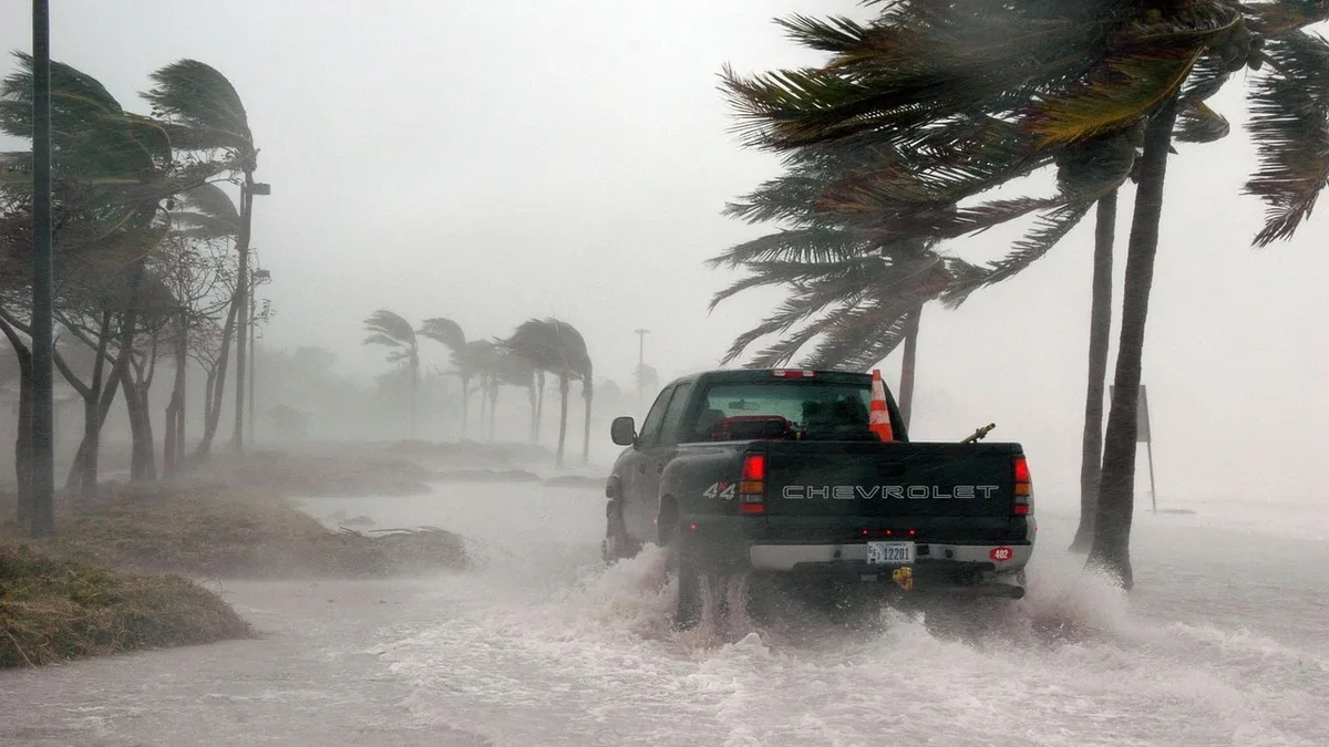
Hurricane Simon Strengthens to Category 4 Off Mexico
Hurricane Simon intensified to a Category 4 storm with 240 km/h winds as it approached Mexico's west-central coast on October 10, 2026, prompting...
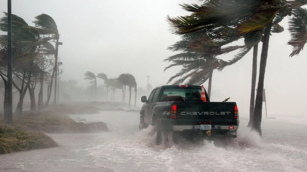
Hurricane Polo Hits Category 5, Threatens Mexico With Floods
Hurricane Polo intensified to Category 5 strength on September 24, 2026, as its outer rainbands brought heavy, life-threatening rainfall and flooding...
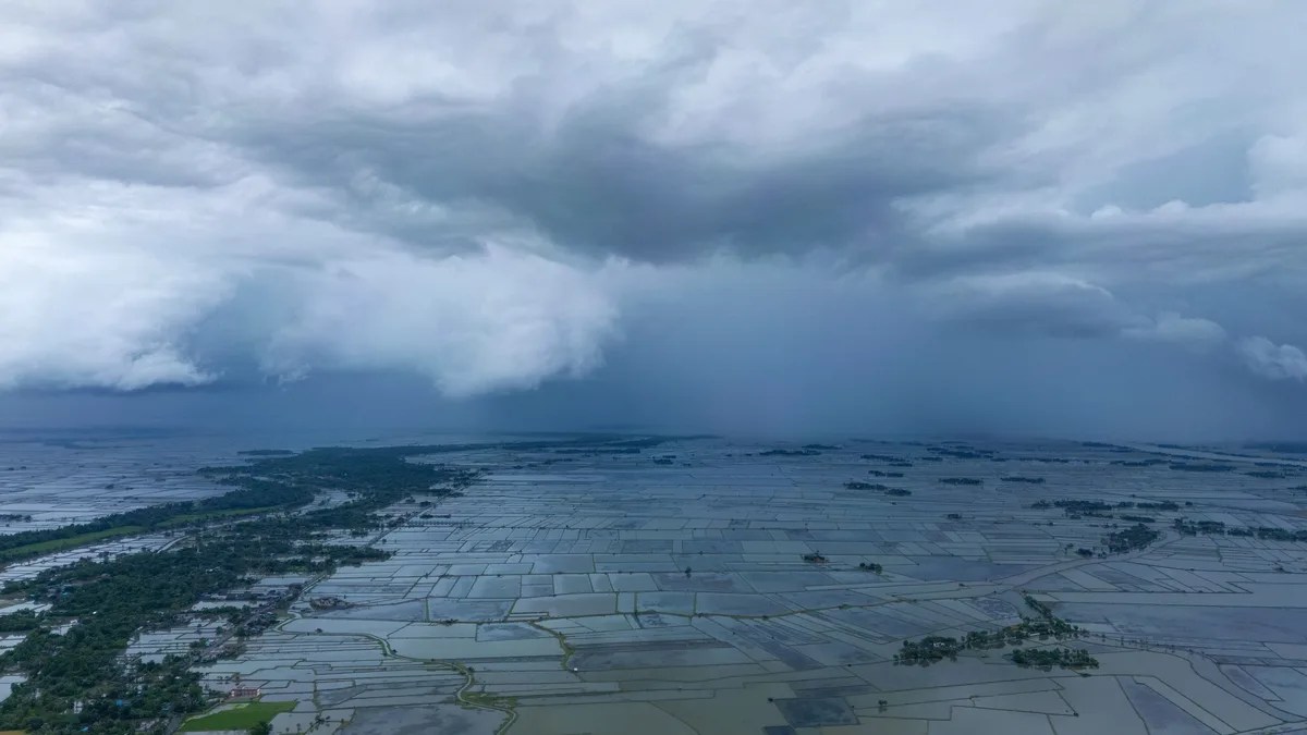
Canadian Prairies summer 2026 extreme weather causes $1.8 billion in insured losses
Ten extreme weather events across the Canadian Prairies in summer 2026 caused over $1.8 billion in insured losses, driven by severe flooding and hail.
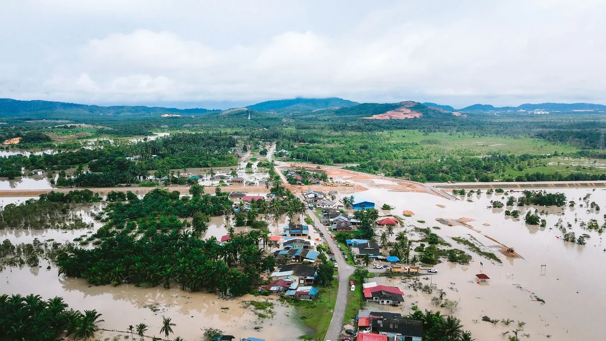
Kerala flash flood and landslides kill 10
Flash flooding and landslides in Kerala, India, on September 20, 2026, killed at least 10 people. The death toll includes six victims from a river...
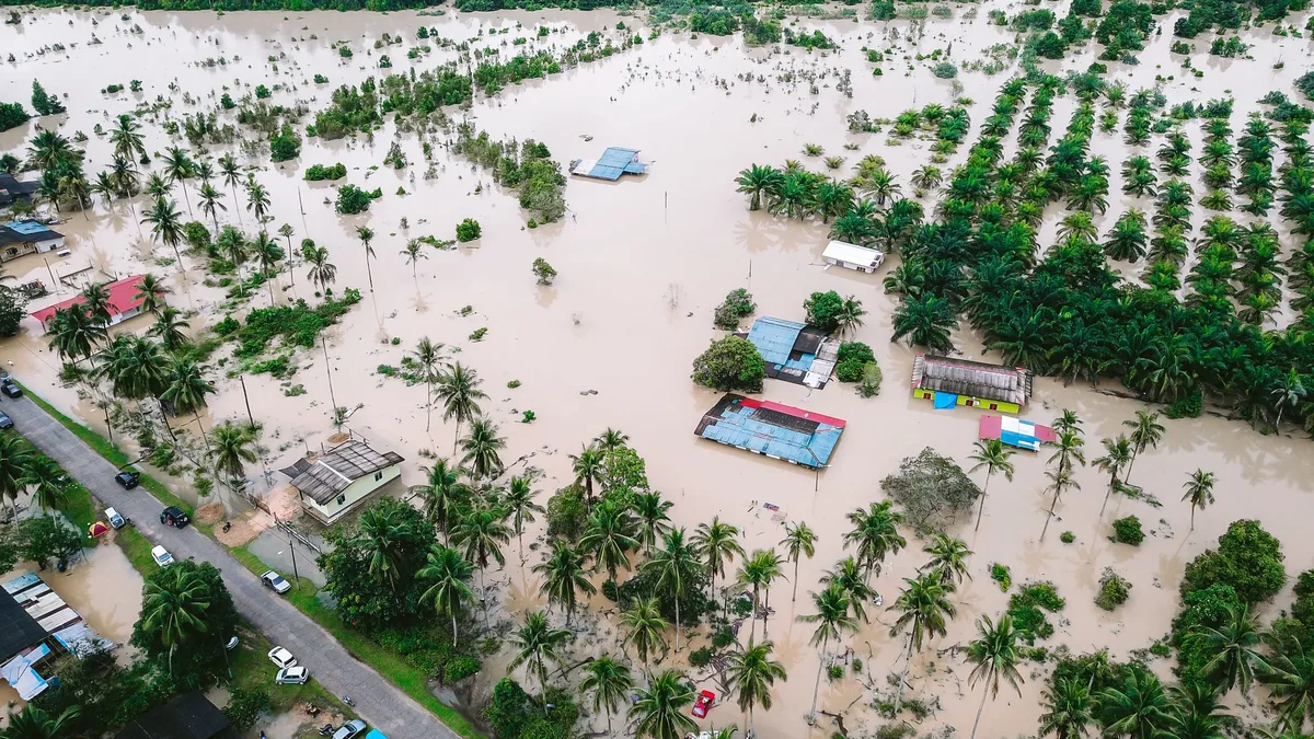
SEADRIF Pays $1.14 Million for Lao Floods
The Southeast Asia Disaster Risk Insurance Facility has paid over $1.14 million to Laos and the World Food Programme after monsoon flooding.

Edouard Nears Landfall on Texas Coast
Tropical Storm Edouard is making landfall on the northwestern Gulf Coast with 50 mph winds, heavy rain, and flash flooding threats for Texas and...