
California And The Southwest
| Hazard type | Seismic and tectonic |
|---|---|
| Event | Major earthquake |
| Magnitude | 7.0 or greater |
| Primary effects | Ground shaking, surface rupture, landslides |
| Secondary effects | Fires, infrastructure failure, tsunamis (coastal) |
| Aftermath | Widespread structural damage, potential for significant casualties, regional disruption |
| Geographic scope | California, Nevada, Arizona, Utah |
Origin and history
The hazard known as "California And The Southwest" originates from the geological and climatic conditions of the western United States, specifically the states of California, Arizona, Nevada, Utah, and New Mexico. Its history is tied to the tectonic activity of the Pacific and North American plates, which has shaped the region over millions of years. The modern understanding of this multi-hazard region coalesced in the late 20th century as scientific consensus grew regarding the interconnected risks. Historical records from indigenous communities document ancient seismic events and prolonged droughts, providing a long-term context. The hazard profile was further defined by major 20th-century events, such as the 1906 San Francisco earthquake and the Dust Bowl-era droughts of the 1930s. It is not a single event but a persistent and evolving condition of the landscape, with its contemporary risk profile being actively studied and updated.
What it is for
This hazard profile exists to categorize and communicate the complex, co-occurring natural threats endemic to this geographic region. Its purpose is for risk assessment, urban planning, emergency preparedness, and public education by governmental and scientific organizations. It serves as a framework for understanding how individual hazards like earthquakes, wildfires, and droughts are not isolated but are often triggering or compounding events. The categorization is used for developing building codes that address seismic safety, flood resistance, and fire mitigation simultaneously. It informs water resource management policies that must account for long-term aridification and extreme precipitation variability. Furthermore, it guides the allocation of resources for civil infrastructure, such as reinforcing utility networks against cascading failures.
Overview
The hazard encompasses a primary triad of seismic, hydrological, and wildfire risks, each exacerbated by the region's specific geography and climate. Seismic risk is dominated by the San Andreas Fault system and numerous other active faults capable of producing major earthquakes. Hydrological risk includes both severe, multi-decadal droughts and the potential for catastrophic atmospheric river-driven flooding and debris flows, particularly after wildfire-scorched terrain. Wildfire risk is characterized by a Mediterranean climate with extended dry seasons, dense chaparral vegetation that acts as fuel, and frequent hot, dry wind events like the Santa Ana and Diablo winds. These hazards frequently interact, such as a drought stressing vegetation and increasing fire risk, followed by rain causing landslides on burn scars. The region's large and growing population, often residing in wildland-urban interface zones or on alluvial flood plains, significantly amplifies the human and economic exposure.
What to know
Residents and planners must know that preparedness for a single hazard is insufficient; integrated plans for concurrent or sequential disasters are essential. Earthquake preparedness involves securing heavy furniture, creating a family communication plan, and storing ample water, as infrastructure may be compromised for extended periods. For wildfire, creating defensible space around property, hardening homes with fire-resistant materials, and having a pre-packed evacuation kit are critical actions. Regarding drought, implementing water conservation measures indoors and outdoors and understanding local water district regulations are necessary long-term adaptations. It is vital to understand that insurance coverage is complex and often requires separate policies for earthquakes and floods, with wildfire coverage becoming increasingly difficult to obtain. Finally, staying informed through official alert systems like Wireless Emergency Alerts (WEA) and NOAA Weather Radio provides timely warnings for fast-moving events like fires or flash floods.
Common questions
A common question is whether the "Big One," a hypothetical mega-earthquake on the San Andreas Fault, is imminent; while inevitable, seismologists cannot predict the exact timing, focusing instead on long-term preparedness. People often ask if climate change is influencing these hazards, and scientific consensus confirms it is intensifying drought severity, heat waves, and the frequency and intensity of large wildfires. Many inquire about the safest places to live within the region; while no location is risk-free, areas farther from active fault lines, outside high-severity fire zones, and not in floodplains generally have lower exposure. Residents frequently question how long they should be prepared to be self-sufficient after a major quake; authorities typically recommend a minimum two-week supply of food, water, and medicine. Others ask if reinforcing an older home for earthquakes is worth the cost, and structural engineers affirm it is a critical investment for life safety. A recurring question concerns the realism of regional water solutions; large-scale projects like desalination and water recycling are operational but are energy-intensive and part of a broader conservation portfolio.
Pros and cons
A significant pro of living in this region is access to a diverse and dynamic natural environment, economic opportunity, and a generally temperate climate. The con is the acceptance of a high baseline risk that requires constant vigilance, financial investment in mitigation, and the psychological burden of potential disaster. A common mistake is underestimating the interdependency of hazards, such as not considering how earthquake damage to water mains could cripple firefighting efforts during a subsequent wildfire. Many regret choosing properties for view or value alone without researching fault zone maps, fire history, or flood zones, leading to unaffordable insurance or retrofit costs later. A genuine drawback is the strain on public resources, where emergency services can be overwhelmed by the scale of a regional event, leading to delayed response. Furthermore, the escalating costs of mitigation and recovery contribute to broader affordability crises and can disproportionately impact lower-income residents.
Who it suits
This hazard profile suits individuals and communities who are proactive, well-resourced, and committed to ongoing preparedness and adaptation. It suits residents who financially and emotionally accept the need for comprehensive insurance, home hardening, and maintaining emergency supplies. It is suitable for those who actively engage with community preparedness programs, such as CERT (Community Emergency Response Team) training, and stay informed about local risks. The profile is a poor match for those seeking a low-maintenance lifestyle without concern for environmental risks, or for individuals unable to invest in necessary retrofits or insurance premiums. It suits policymakers and planners who prioritize long-term resilience over short-term development gains, integrating hazard mitigation into all aspects of governance. Ultimately, it is a reality for anyone choosing to reside in the region, requiring a conscious and continuous risk management strategy.
Latest California And The Southwest news
Latest reporting
Record-breaking October heat wave scorches California
An anomalous ridge drives a prolonged, intense heat wave across central and southern California.
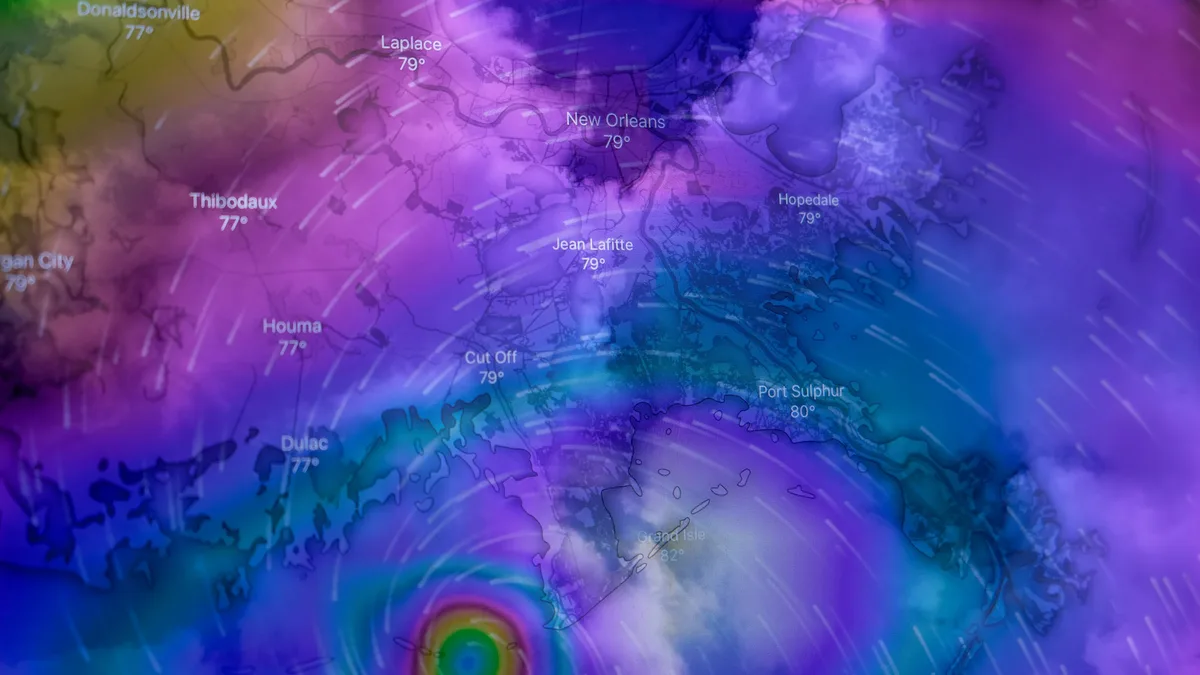
Hurricane Polo Threatens Baja California Sur With Warnings on Both Coasts
Hurricane Polo, a Category 3 storm, is approaching Baja California Sur with hurricane and tropical storm warnings in effect for both coasts.
California Declares Emergency for Very Strong El Niño
Governor Gavin Newsom declared a statewide emergency on September 21, 2026, to prepare for a very strong El Niño expected to bring heavy...
Tropical Storm Polo Intensifies Toward Major Hurricane
Tropical Storm Polo is rapidly strengthening off Mexico's southwest coast, with forecasts predicting it will become a major hurricane by Tuesday.
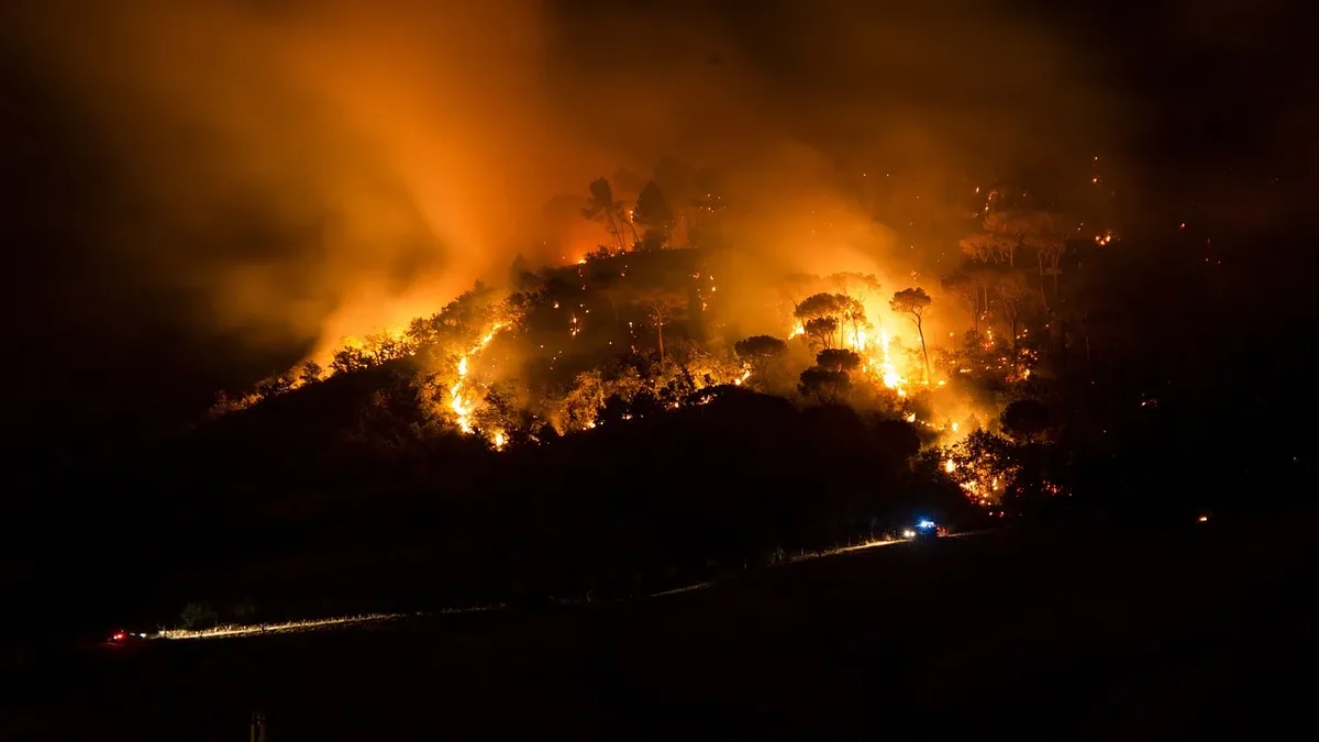
Study finds 61% of fuel treatments effective against wildfire
Research analyzing over 1,600 fuel treatments in California from 1950-2022 found that 61% were effective at modifying wildfire behavior.
Severe Thunderstorm Watch Issued for Iowa and Nebraska
The National Weather Service's Storm Prediction Center has issued a Severe Thunderstorm Watch for parts of southwest Iowa and central to eastern...