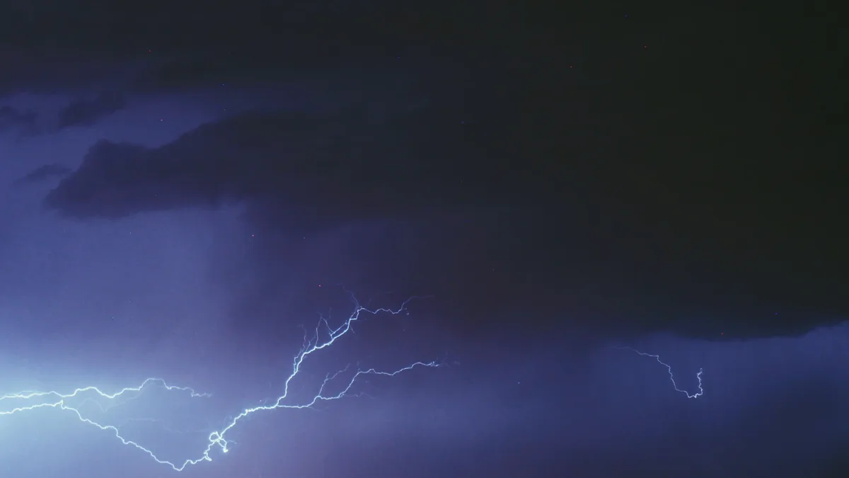
SPC: Severe Storm Threat for Maine
The Storm Prediction Center states thunderstorms developing over central and eastern Maine Friday afternoon may produce marginally severe hail.

The Storm Prediction Center (SPC) issued Mesoscale Discussion 2162 at 12:28 PM CDT on Friday, August 28, 2026, concerning a severe weather potential for Maine. The probability of a watch being issued is only 5 percent.
According to the SPC, thunderstorms developing across central to eastern Maine will gradually intensify through the late afternoon. The stronger storms may pose a threat of marginally severe hail and damaging wind gusts.
Storm Development and Forecast
Latest satellite imagery and radar trends show transient deepening of convective updrafts within a broken line of storms across northern Maine. This recent uptick in intensity is likely due to diurnal warming, with temperatures reaching the upper 70s and low 80s. This heating is contributing to surface-based instability values roughly around 1000 J/kg.
Further heating over the next couple of hours is expected to bolster buoyancy slightly by peak heating. The SPC states values will most likely increase to around 1500 J/kg. This should promote gradual intensification through the afternoon as a cold front pushes eastward.
Additional convective showers are noted further south and southwest along and ahead of the front. These should see similar gradual intensification through peak heating as they spread east.
Severe Threat Parameters
Despite fairly modest mid-level lapse rates, some measure of deep-layer wind shear is present. Based on recent radar wind observations, this shear is estimated to be around 25 to 30 knots. The SPC indicates this may promote adequate storm organization for marginally severe hail and damaging wind gusts.
The threat for damaging winds could be especially pronounced if a linear storm mode develops through peak heating when low-level lapse rates will be maximized. In general, the severe threat is expected to be too transient and localized to warrant the issuance of a severe thunderstorm watch.
The discussion from forecasters Moore and Mosier outlines the following most probable peak hazards:
| Hazard Type | Most Probable Peak |
|---|---|
| Wind Gust | Up to 60 mph |
| Hail Size | Up to 1.25 in |
The affected area is outlined by specific coordinates provided by the SPC. The weather offices in Caribou, Maine (WFO CAR) and Gray, Maine (WFO GYX) are specifically noted for attention. The valid time for the discussion is from 1728Z to 2000Z on August 28, 2026.