Storm Watch Possible Over Eastern Corn Belt
The NWS Storm Prediction Center has issued Mesoscale Discussion 2137, indicating a 40 percent chance of a severe weather watch for the eastern Corn Belt and southern Lower Michigan. The discussion warns of damaging wind gusts up to 60 mph and large hail up to 1.75 inches as a cold front moves through the region.
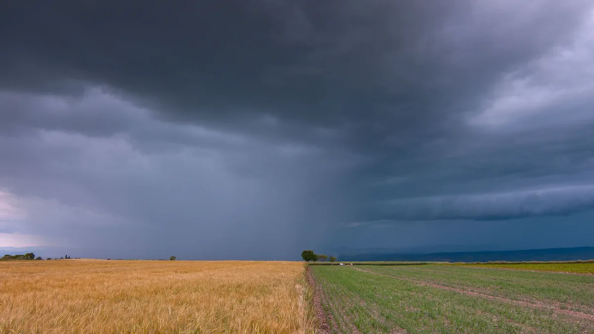
A mesoscale discussion issued by the NWS Storm Prediction Center on Wednesday, August 26, 2026, signals that thunderstorms along an approaching cold front could produce damaging winds and large hail across portions of the eastern Corn Belt and southern Lower Michigan.
The SPC has assigned a 40 percent chance of a severe weather watch being issued for the area from 17:22 to 19:15 UTC.
The discussion, authored by Chalmers and Mosier, notes an occluded low over southern Ontario and a cold front moving south-southwestward across Lake Michigan into central Illinois.
Dewpoints ahead of the front are in the low to mid-60s°F, with pockets of low-70s°F near the boundary in central Illinois.
As the front pushes eastward, surface heating and southeasterly low-level theta-e advection will create a narrow corridor of 1,000 to 2,000 J/kg MLCAPE.
The SPC expects convection to intensify over southwestern Michigan in the next 1-2 hours, with additional cells likely along the front where satellite imagery shows deepening cumulus.
Effective shear of 25-30 knots is enough to support multicellular clusters and possibly marginal supercells that could produce 50-60 mph wind gusts and hail up to 1.75 inches.
A brief tornado cannot be ruled out, but veered low-level winds should largely reduce that risk.
The SPC notes that the low-level wind veering could reduce tornado likelihood, but the presence of strong shear still warrants caution.
The need for a watch remains uncertain because of limited shear and the resulting uncertainty in overall convective intensity.
The SPC’s discussion includes a table of peak threat estimates:
| Feature | Value |
|---|---|
| Probability of Watch Issuance | 40% |
| Effective Shear | 25-30 knots |
| Peak Wind Gust | up to 60 mph |
| Peak Hail Size | 1.00-1.75 inches |
| MLCAPE Corridor | 1,000-2,000 J/kg |
| Peak Tornado Intensity | up to 90 mph |
For more details on the forecast, see the SPC's official product stats or consult the archived discussions squad.
The discussion is relevant to forecasters in the WFOs of Cleveland, Illinois, Detroit, Indianapolis, Grand Rapids, Indianapolis, Lansing, and the surrounding area.
The SPC will issue a revised outlook if the front accelerates or if the CAPE values increase beyond the current range.
The discussion was released at 12:22 PM CDT, providing forecasters with a 2-hour window to assess evolving conditions.
The SPC’s website hosts the full discussion and related graphics, which can be accessed by the public and meteorologists alike.