Tropical Depression Five Threatens
Tropical Depression Five has formed over the northern Gulf of America, with maximum sustained winds of 35 mph.
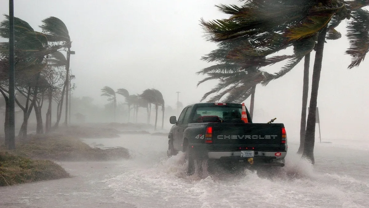
Tropical Depression Five formed over the northern Gulf of America on Monday, August 31, 2026. The National Hurricane Center (NHC) issued a Tropical Storm Warning for parts of the upper Texas and southwestern Louisiana coast at 1:00 PM CDT.
At 1:00 PM CDT, the depression was centered near latitude 28.0 North, longitude 90.8 West. This location is about 120 miles south-southeast of Morgan City, Louisiana, and approximately 230 miles southeast of Port Arthur, Texas. The system is moving west-northwest at 5 mph, a motion expected to continue for the next day or two.
Current Status and Forecast
Data from Air Force Hurricane Hunter aircraft indicate maximum sustained winds are near 35 mph, with higher gusts. The minimum central pressure is 1012 mb. The NHC forecasts some strengthening, expecting the system to become a tropical storm by Monday night. On its current track, the center is predicted to reach the northwestern Gulf Coast within the warning area on Tuesday. For the latest storm details, see our stats page.
Watches and Warnings
A Tropical Storm Warning is in effect from Port Bolivar, Texas, to the Vermilion/Cameron Parish line in Louisiana. This warning means tropical storm conditions are expected somewhere within that area within the next 24 to 36 hours. The NHC advises residents to monitor products from their local National Weather Service forecast office for specific inland watches and warnings.
Hazards Affecting Land
The NHC warns of multiple hazards associated with the approaching system.
Wind: Tropical storm conditions are expected to reach the coast within the warning area on Tuesday. These conditions will make outside preparations difficult or dangerous.
Storm Surge: The combination of a storm surge and the tide is forecast to cause flooding in normally dry areas near the coast. Rising waters moving inland from the shoreline could reach heights of 1 to 3 feet above ground from High Island, Texas, to the Vermilion/Iberia Parish Line in Louisiana, if the peak surge coincides with high tide. The deepest water is expected along the immediate coast near and to the east of the storm's center. Surge-related flooding can vary greatly over short distances.
Rainfall: The depression is expected to produce significant rainfall. The forecast calls for 3 to 6 inches of rain, with isolated maximum totals of up to 9 inches, for parts of the Upper Texas Coast inland through east-central Texas. Southwest Louisiana is forecast to receive 2 to 3 inches. This rainfall could produce flash flooding, especially in low-lying and urban areas. For related forecast updates, check our fixtures.
The NHC directs the public to its online graphics for a complete depiction of areas at risk from storm surge inundation and forecast rainfall totals. The next complete advisory from the National Hurricane Center is scheduled for 4:00 PM CDT.